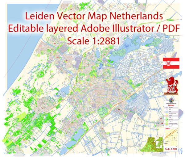
Leiden is divided into several districts and neighborhoods, each with its own unique character and charm. Vectormap.Net provide you with the most accurate and up-to-date vector maps in Adobe Illustrator, PDF and other formats, designed for editing and printing. Please read the vector map descriptions carefully. Here’s an overview of some of the main districts and neighborhoods in Leiden:
1. City Center:
- Description: The heart of Leiden, the city center is characterized by its historic architecture, picturesque canals, and lively atmosphere. It is home to numerous shops, restaurants, cafes, and cultural institutions.
- Key Attractions: Burcht van Leiden, Pieterskerk, Hooglandse Kerk, and the bustling shopping streets.
2. Pieterskwartier:
- Description: Adjacent to the city center, Pieterskwartier is a charming neighborhood known for its cobblestone streets and historic houses. It has a relaxed and residential feel, with small boutiques, art galleries, and cafes.
- Key Attractions: Pieterskerk, University buildings, and the scenic Rapenburg canal.
3. Morsdistrict:
- Description: A diverse residential area with a mix of housing types, including family homes and apartments. It has parks, schools, and shopping facilities, offering a comfortable living environment.
- Key Features: The Leiden Bio Science Park, a hub for scientific research and innovation.
4. De Kooi:
- Description: Located to the northeast of the city center, De Kooi is a residential area with a mix of housing, including family homes and student accommodation. It has parks, schools, and local amenities.
- Key Features: Leiden Central Station is within walking distance, making it a convenient location for commuters.
5. Boerhaavedistrict:
- Description: Named after the renowned scientist Hermann Boerhaave, this district is characterized by a mix of residential and commercial spaces. It is close to the Leiden University Medical Center (LUMC) and the Naturalis Biodiversity Center.
- Key Features: Medical and research facilities, educational institutions.
6. Stevenshof:
- Description: A residential area in the southwest of Leiden, Stevenshof is known for its family-friendly environment, parks, and schools. It offers a mix of housing options, including single-family homes and apartments.
- Key Features: Expansive green spaces, community facilities.
7. Lammenschans:
- Description: Situated to the southeast of the city center, Lammenschans is a diverse neighborhood with a mix of residential and commercial spaces. It is well-connected with various public transport options.
- Key Features: Leiden Lammenschans train station, shopping areas, schools.
8. Merenwijk:
- Description: A planned residential area northeast of the city center, Merenwijk is known for its green spaces, lakes, and family-oriented neighborhoods. It offers a variety of amenities, including schools and shopping centers.
- Key Features: Merenwijkse Plas, recreational facilities.
These descriptions provide a broad overview of the districts and neighborhoods in Leiden. Each area has its own unique character and amenities, catering to the diverse needs and preferences of residents and visitors alike.


 Author: Kirill Shrayber, Ph.D. FRGS