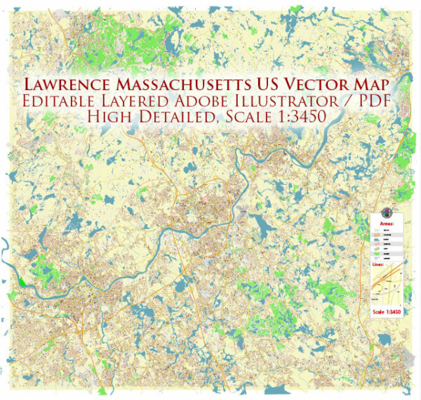
Lawrence, Massachusetts, is divided into various neighborhoods and districts, each with its own unique characteristics. While the city is not officially segmented into designated districts, the following are some notable neighborhoods within Lawrence:
- Downtown Lawrence:
- Located in the central part of the city, Downtown Lawrence is a commercial and cultural hub.
- Historic architecture, including well-preserved buildings from the city’s industrial past, contributes to the area’s character.
- The district features a mix of businesses, shops, restaurants, and cultural institutions.
- South Lawrence:
- South Lawrence is known for its residential areas and is home to a diverse community.
- The neighborhood has parks and schools, contributing to a family-friendly atmosphere.
- As in other parts of Lawrence, South Lawrence has a mix of housing types, including single-family homes and multi-unit buildings.
- North Lawrence:
- North Lawrence is another residential area, located north of the Merrimack River.
- The neighborhood has seen various economic and community development efforts to improve infrastructure and housing.
- Parks and recreational facilities are present in North Lawrence, contributing to the quality of life for residents.
- Tower Hill:
- Tower Hill is a neighborhood located in the eastern part of Lawrence.
- The area has a mix of residential and commercial properties, and it has been the focus of some redevelopment initiatives.
- Tower Hill is known for its community-oriented atmosphere and local amenities.
- Prospect Hill:
- Situated in the southwestern part of Lawrence, Prospect Hill is primarily a residential neighborhood.
- It features parks, schools, and various community resources.
- The neighborhood has a mix of housing options, from single-family homes to apartment buildings.
- North Common:
- North Common is a district that includes the historic North Common Park.
- This area has a mix of residential and commercial properties, with the park serving as a central gathering place for community events.
- Saranac Street Historic District:
- Designated as a historic district, Saranac Street features well-preserved Victorian and Colonial Revival-style homes.
- This area provides a glimpse into Lawrence’s architectural history and is listed on the National Register of Historic Places.
It’s important to note that Lawrence is a city with a diverse population, and neighborhoods can vary widely in terms of socioeconomic factors, cultural influences, and community dynamics. While the city has faced challenges, community organizations, local government, and residents continue to work together to enhance the quality of life in Lawrence and promote economic development.
Vectormap.Net provide you with the most accurate and up-to-date vector maps in Adobe Illustrator, PDF and other formats, designed for editing and printing. Please read the vector map descriptions carefully.


 Author: Kirill Shrayber, Ph.D. FRGS