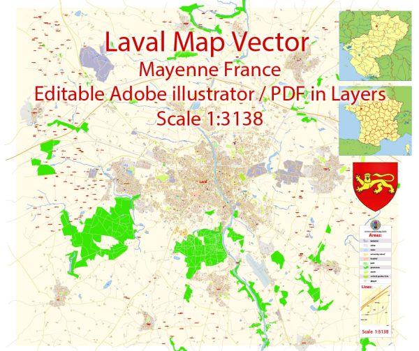
Laval in Mayenne, France, is not a particularly large city, and it might not have the same distinct neighborhood structure as larger metropolitan areas. However, it does have various areas with unique characteristics. Vectormap.Net provide you with the most accurate and up-to-date vector maps in Adobe Illustrator, PDF and other formats, designed for editing and printing. Please read the vector map descriptions carefully.
- City Center (Centre-Ville):
- The heart of Laval is its city center, where you’ll find historical landmarks, shops, restaurants, and cultural institutions. The city center is likely to have a mix of architectural styles, reflecting different periods of Laval’s history.
- Saint-Nicolas District:
- This district, named after the Saint-Nicolas gate, is known for its medieval charm. Narrow streets, old houses, and historical sites create a unique atmosphere. It might be a blend of residential and commercial spaces.
- Avesnières:
- Avesnières is an area along the Mayenne River, known for its scenic views and green spaces. It may offer a more relaxed atmosphere and could be a mix of residential and recreational areas.
- Perrine-Saint-Martin:
- This neighborhood might be more residential, with schools, parks, and local amenities catering to the needs of the residents. It could be a family-friendly area with a mix of housing options.
- Grenoux:
- Grenoux might be characterized by a blend of residential and industrial zones. It could have a more diverse character, with a mix of housing types and possibly some commercial or industrial activities.
- Féronerie:
- Depending on its development, Féronerie might have a mix of residential and commercial spaces. It could be a dynamic area with local businesses and services.
- Bourny:
- Bourny could be a residential area with a mix of housing options. It might have schools, parks, and other amenities to serve the local population.
- Changeon:
- Changeon might be a quieter, more suburban area, providing a residential environment away from the bustling city center. It could have its own local services and community facilities.
It’s essential to note that the characteristics of these districts and neighborhoods can change, and new developments may have occurred since my last update. Additionally, local terms for districts or neighborhoods might be used differently by residents. For the most accurate and up-to-date information, it’s recommended to check with local sources or city authorities.


 Author: Kirill Shrayber, Ph.D. FRGS