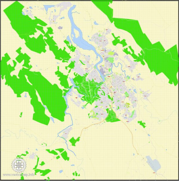
Launceston, being a relatively small city, doesn’t have formally designated districts in the same way larger cities might. However, it does have several neighborhoods and areas that offer unique characteristics and atmospheres. Vectormap.Net provide you with the most accurate and up-to-date vector maps in Adobe Illustrator, PDF and other formats, designed for editing and printing. Please read the vector map descriptions carefully. Here are some key neighborhoods and areas within and around Launceston:
- City Center:
- The heart of Launceston is its central business district (CBD), where you’ll find a mix of historical and modern architecture.
- Popular attractions in the city center include the Brisbane Street Mall for shopping, City Park, and various restaurants and cafes.
- Invermay:
- Located just north of the city center, Invermay is home to the University of Tasmania’s Inveresk campus.
- This area has a youthful and vibrant atmosphere due to the student population and offers cultural attractions like the Queen Victoria Museum and Art Gallery (QVMAG).
- South Launceston:
- A residential area located south of the city, offering a mix of housing types from historic homes to more contemporary designs.
- South Launceston provides easy access to the city center and has its own amenities, including schools and parks.
- East Launceston:
- An affluent residential area characterized by well-preserved heritage homes and tree-lined streets.
- East Launceston is known for its proximity to the Cataract Gorge and the picturesque landscapes surrounding it.
- West Launceston:
- West Launceston is a residential suburb with a mix of housing options, parks, and local amenities.
- This area provides beautiful views of the Tamar Valley and is a short distance from the city center.
- Tamar Valley:
- Beyond the immediate city limits, the Tamar Valley is a scenic and fertile region known for its vineyards and wineries.
- Towns such as Legana and Rosevears in the Tamar Valley offer a peaceful rural lifestyle while being close to Launceston.
- Newnham:
- Situated to the northeast of the city center, Newnham is known for hosting the University of Tasmania’s Newnham campus.
- The area has a mix of student housing, residential neighborhoods, and recreational spaces.
- Kings Meadows:
- Located south of the city center, Kings Meadows is a suburban area with shopping centers, schools, and residential neighborhoods.
- It’s a well-established residential area with various amenities and services.
- Riverside:
- Situated to the west of the city, Riverside is a suburban area along the Tamar River.
- The neighborhood offers a mix of housing options, parks, and is known for its family-friendly atmosphere.
These descriptions provide a general overview, and each neighborhood in Launceston has its own unique charm and community spirit. The city is known for its friendly and welcoming atmosphere, making it a great place to explore and live.


 Author: Kirill Shrayber, Ph.D.