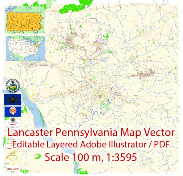
Lancaster, Pennsylvania, is a historic city with several distinct neighborhoods and districts, each offering its own unique character and amenities. Vectormap.Net provide you with the most accurate and up-to-date vector maps in Adobe Illustrator, PDF and other formats, designed for editing and printing. Please read the vector map descriptions carefully. Here are some key neighborhoods and districts in Lancaster:
- Downtown Lancaster:
- This area is the heart of the city, known for its historic architecture, vibrant arts scene, and diverse dining options.
- Central Market, the oldest continuously operating farmers’ market in the country, is located here.
- You’ll find a mix of residential, commercial, and cultural spaces, including galleries, theaters, and boutiques.
- Cabbage Hill:
- Situated southwest of downtown, Cabbage Hill is a residential neighborhood with a mix of historic row houses.
- It has a tight-knit community feel, and the housing stock reflects the city’s industrial history.
- West End:
- This neighborhood is west of downtown and is known for its tree-lined streets and diverse architectural styles.
- It features a mix of residential and commercial properties, including local businesses and schools.
- Musser Park:
- Located near the center of the city, Musser Park is a charming residential area with a park at its core.
- The neighborhood is characterized by well-preserved historic homes and a sense of community.
- Manheim Township:
- This is a suburban area to the northeast of downtown Lancaster, offering a mix of residential and commercial spaces.
- Manheim Township includes various neighborhoods with parks, schools, and shopping centers.
- Lancaster Township:
- Adjacent to the city, Lancaster Township is a mix of residential and rural areas.
- It provides a more suburban setting while still being close to the amenities of downtown Lancaster.
- East Side:
- The eastern part of the city is diverse, with a mix of residential and commercial spaces.
- The area includes different neighborhoods, each with its own character and community vibe.
- College Park:
- Home to Franklin & Marshall College, College Park is an area with a mix of student housing and residential homes.
- It has a youthful energy and is close to the college’s campus and amenities.
It’s important to note that Lancaster is a city with a rich history, and many neighborhoods feature well-preserved architecture from various periods. Additionally, community engagement and local initiatives play a significant role in shaping the character of each neighborhood.


 Author: Kirill Shrayber, Ph.D. FRGS