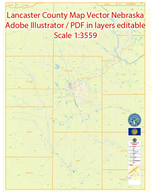
Lancaster County, Nebraska, includes the city of Lincoln, which serves as the county seat. In Lincoln, the city is typically divided into various neighborhoods and districts. Vectormap.Net provide you with the most accurate and up-to-date vector maps in Adobe Illustrator, PDF and other formats, designed for editing and printing. Please read the vector map descriptions carefully. Here are some descriptions of neighborhoods and districts in Lincoln, Nebraska:
- Downtown Lincoln:
- Description: Downtown Lincoln is the central business and entertainment district. It features a mix of commercial, residential, and cultural spaces.
- Landmarks: The Nebraska State Capitol, government buildings, historic Haymarket District, and various restaurants and shops.
- Haymarket District:
- Description: This historic district is known for its red-brick warehouses converted into shops, restaurants, and galleries. It’s a popular area for entertainment and nightlife.
- Landmarks: Pinnacle Bank Arena, a modern multi-purpose arena; historic Haymarket Square.
- University Place:
- Description: Located near the University of Nebraska-Lincoln, this neighborhood has a mix of student housing, residential areas, and local businesses.
- Landmarks: University of Nebraska-Lincoln’s East Campus.
- Near South:
- Description: This residential area is known for its historic homes and is located south of downtown. It has a diverse community and a mix of housing styles.
- Landmarks: Bryan Medical Center.
- Near North:
- Description: Similar to Near South, Near North is a residential area with a mix of housing options. It is located north of downtown Lincoln.
- Landmarks: Lincoln High School.
- Antelope Park:
- Description: This area features the expansive Antelope Park, a popular green space with walking trails, gardens, and recreational facilities.
- Landmarks: Antelope Park, Sunken Gardens.
- Bethany:
- Description: Bethany is a neighborhood with a mix of residential and commercial areas. It has a suburban feel and is located in the southeastern part of the city.
- Landmarks: Holmes Lake, a popular recreational area.
- Family Acres:
- Description: A residential neighborhood with a mix of housing types, including single-family homes. It is located in the southwestern part of the city.
- Landmarks: Local parks and schools.
- Capitol Beach:
- Description: Situated in the western part of Lincoln, Capitol Beach is a residential area with access to Holmes Lake and outdoor recreational opportunities.
- Landmarks: Holmes Lake, local parks.
- Clinton:
- Description: Located in the northeastern part of the city, Clinton is a neighborhood with a mix of residential and commercial areas.
- Landmarks: Local parks, schools.
These descriptions provide a broad overview of some of the neighborhoods and districts in Lincoln, Nebraska. For more detailed and current information, it’s recommended to consult local real estate resources, community organizations, or city planning offices.


 Author: Kirill Shrayber, Ph.D.