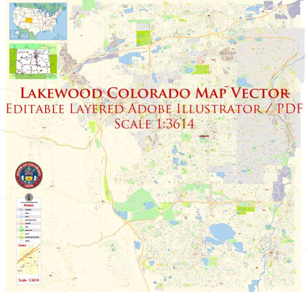
Districts and neighborhoods within Lakewood, Colorado, a general overview based on information available. Vectormap.Net provide you with the most accurate and up-to-date vector maps in Adobe Illustrator, PDF and other formats, designed for editing and printing. Please read the vector map descriptions carefully.
Lakewood is a city located in Jefferson County, Colorado, and it is part of the Denver metropolitan area. The city is known for its diverse neighborhoods, parks, and proximity to the Rocky Mountains. Keep in mind that neighborhoods and districts can change over time, so it’s always a good idea to check for the latest information.
- Belmar: This area is a mixed-use development with a focus on shopping, dining, and entertainment. It’s a vibrant and urbanized part of Lakewood with a variety of residential options.
- Green Mountain: Situated to the west of Lakewood, Green Mountain is known for its outdoor recreation opportunities. Residents can enjoy hiking and biking trails, as well as beautiful views of the city and mountains.
- Applewood: This residential neighborhood features a mix of housing styles, including older homes with large lots. It has a more suburban feel and is known for its community-oriented atmosphere.
- Bear Creek Lake Park Area: This region offers access to Bear Creek Lake Park, a popular outdoor destination with a lake for water activities, hiking trails, and picnic areas.
- Morse Park: Located in the eastern part of Lakewood, Morse Park is known for its park facilities, including sports fields, playgrounds, and open spaces.
- Southern Gables: This neighborhood features a mix of housing styles, including ranch-style homes. It is a family-friendly area with parks and schools.
- Union Square: Situated in the northern part of Lakewood, Union Square is an area that has undergone redevelopment in recent years, with a focus on creating a more urban and walkable environment.
Remember that these descriptions are general, and neighborhoods can change. Additionally, new developments may have occurred since my last update. For the most current and detailed information, it’s recommended to check with local sources or visit the official website of the City of Lakewood.


 Author: Kirill Shrayber, Ph.D.