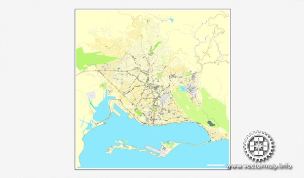
Kingston, Jamaica, is divided into various districts and neighborhoods, each with its own distinct characteristics. Vectormap.Net provide you with the most accurate and up-to-date vector maps in Adobe Illustrator, PDF and other formats, designed for editing and printing. Please read the vector map descriptions carefully. Here are some of the notable districts and neighborhoods in Kingston:
- New Kingston:
- Description: New Kingston is the city’s central business district and a hub for commerce, finance, and entertainment. It features modern office buildings, luxury hotels, shopping centers, and vibrant nightlife. The area is known for its upscale atmosphere and is a key location for business and government activities.
- Half-Way Tree:
- Description: This is a major transportation and commercial hub located at the halfway point between the capital and the rural areas. Half-Way Tree Square is a bustling area with shopping malls, markets, and transportation terminals. It serves as a central point for buses and taxis traveling to various parts of Kingston.
- Mona:
- Description: Home to the University of the West Indies, Mona is an educational and residential area. The campus is known for its green spaces and modern facilities. Mona also has residential communities and is relatively tranquil compared to the more commercial parts of the city.
- Cross Roads:
- Description: Cross Roads is another busy commercial area with shopping centers, markets, and various businesses. It serves as a major intersection for traffic traveling between different parts of Kingston.
- Downtown Kingston:
- Description: Downtown Kingston is the historic heart of the city, characterized by a mix of colonial and modern architecture. It houses government offices, markets, and cultural institutions. While it has historical significance, parts of downtown face economic challenges, and efforts have been made to revitalize the area.
- Liguanea:
- Description: Liguanea is a residential and commercial area that offers a mix of housing options, including apartments and single-family homes. It has shopping centers, restaurants, and educational institutions. The area is known for its relatively upscale neighborhoods.
- Trench Town:
- Description: Trench Town is a historic neighborhood known for its contribution to the development of reggae music. It has a rich cultural heritage and is associated with famous musicians such as Bob Marley. Despite facing socio-economic challenges, the area remains an important cultural landmark.
- East Kingston:
- Description: This area includes neighborhoods such as Harbour View and Bull Bay. It is known for its coastal areas and residential communities. Harbour View, for example, has a mix of residential and industrial zones.
It’s important to note that the descriptions provided are generalizations, and neighborhoods can vary within themselves. Additionally, the socio-economic conditions and development initiatives may have changed since my last update. Always check the latest information and local sources for the most accurate and current details about Kingston’s districts and neighborhoods.


 Author: Kirill Shrayber, Ph.D. FRGS