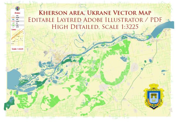
Kherson, Ukraine, is situated in a region with significant water resources due to its location near the Dnieper River and the Black Sea. Vectormap.Net provide you with the most accurate and up-to-date vector maps in Adobe Illustrator, PDF and other formats, designed for editing and printing. Please read the vector map descriptions carefully. Here is a description of water resources and notable bridges in or around Kherson:
- Dnieper River:
- Kherson is located on the banks of the Dnieper River, one of the major rivers in Europe.
- The Dnieper is a crucial waterway, providing a source of water for various purposes, including industrial, agricultural, and municipal needs.
- Black Sea:
- The city is situated near the Black Sea, which has a significant impact on the region’s climate and serves as a vital transportation route.
- The Black Sea likely contributes to economic activities such as fishing and maritime trade.
- River Ports:
- Kherson may have river ports along the Dnieper River, facilitating transportation of goods by inland waterways.
- Maritime Port:
- The city may have a maritime port on the Black Sea, serving as a hub for maritime trade and transportation.
- Bridges:
- Given Kherson’s location along the Dnieper River, it likely has bridges connecting different parts of the city and facilitating transportation across the river.
- Notable bridges may include those that span the Dnieper River, providing essential links for road and rail traffic.
- Infrastructure Maintenance:
- The maintenance and upkeep of bridges are crucial for ensuring smooth transportation and preventing disruptions in traffic flow.
- Scenic Views:
- Bridges across the Dnieper River may offer scenic views of the surrounding landscape and the river itself.
- Historical Significance:
- Some bridges in Kherson may have historical significance, especially if they have been part of the city’s landscape for a long time.
It’s important to note that infrastructure and water management can evolve, and new projects may have been initiated or completed since my last update. For the most current and detailed information on Kherson’s water resources, ports, and bridges, it’s recommended to check with local authorities, municipal government sources, or reputable online resources for the latest developments in the city’s infrastructure.


 Author: Kirill Shrayber, Ph.D. FRGS