Kherson, Ukraine, has a transportation infrastructure that includes various modes of transportation to facilitate the movement of people and goods within and around the city. Here is a general description of Kherson’s transportation infrastructure:
- Road Network:
- Kherson is likely to have a well-developed road network with streets and avenues connecting different parts of the city.
- Major roads may lead to highways connecting Kherson with other cities and regions in Ukraine.
- Public Transportation:
- Buses: Kherson probably has a bus system that serves various routes within the city and possibly extends to suburban areas.
- Trolleybuses or trams may also be part of the public transportation network.
- Rail Transport:
- Kherson is likely connected to the national railway network, facilitating train travel to and from other cities and regions.
- The city may have a central railway station and possibly additional stations serving different parts of the city.
- Maritime Transport:
- As Kherson is located on the Dnieper River and near the Black Sea, it may have a port or harbor for maritime transportation.
- The port could handle cargo shipments and possibly have passenger terminals for ferry services or other maritime travel.
- Air Transport:
- Kherson International Airport is a key component of the city’s air transport infrastructure. The airport likely serves domestic and international flights, connecting Kherson with other cities and countries.
- Facilities at the airport may include terminals for passengers and cargo, as well as other amenities.
- Cycling and Pedestrian Infrastructure:
- Kherson may have provisions for cycling and pedestrian infrastructure, including bike lanes, sidewalks, and pedestrian-friendly areas.
- Public spaces and parks might have walking paths and recreational areas.
- Taxi Services:
- Taxi services are common in urban areas, providing on-demand transportation for residents and visitors.
- Car Rental Services:
- Car rental agencies may operate in the city, offering residents and tourists the option to rent vehicles for personal use.
- Traffic Management:
- Traffic signals, road signs, and other traffic management systems are likely in place to regulate the flow of traffic and ensure safety.
For the most current and detailed information on Kherson’s transportation infrastructure, it’s recommended to check with local transportation authorities, municipal government sources, or reputable online resources.
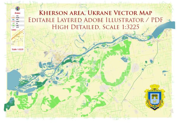
Vectormap.Net provide you with the most accurate and up-to-date vector maps in Adobe Illustrator, PDF and other formats, designed for editing and printing. Please read the vector map descriptions carefully.


 Author: Kirill Shrayber, Ph.D. FRGS