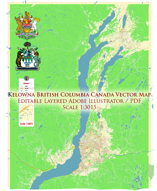
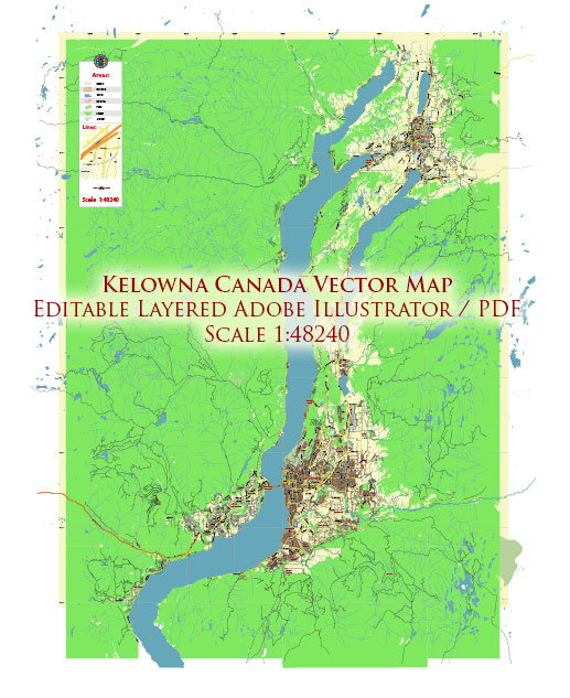
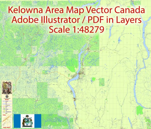
Kelowna, located in British Columbia, Canada, is a vibrant city known for its beautiful landscapes, wineries, and outdoor recreational activities. The city is divided into several districts and neighborhoods, each with its unique characteristics. Vectormap.Net provide you with the most accurate and up-to-date vector maps in Adobe Illustrator, PDF and other formats, designed for editing and printing. Please read the vector map descriptions carefully. Here are some key districts and neighborhoods in Kelowna:
- Downtown Kelowna:
- Description: Downtown Kelowna is the heart of the city, featuring a mix of commercial, residential, and cultural spaces. You’ll find a variety of shops, restaurants, cafes, and entertainment venues. The waterfront area along Okanagan Lake is a popular spot for walks and outdoor activities.
- Glenmore:
- Description: Located to the north of downtown, Glenmore is a residential area with a mix of housing options. It’s a family-friendly neighborhood with parks, schools, and shopping centers.
- Mission:
- Description: The Mission area is known for its upscale homes and scenic views of Okanagan Lake. You’ll find vineyards, orchards, and luxury estates in this picturesque part of Kelowna. There are also recreational amenities, including beaches and parks.
- Rutland:
- Description: Rutland is situated to the northeast of downtown Kelowna. It is a diverse and dynamic neighborhood with a mix of residential and commercial developments. It has its own community center, parks, and schools.
- Lower Mission:
- Description: This area is known for its beaches, parks, and a mix of housing options. Lower Mission is popular for its proximity to the lake, recreational activities, and the vibrant Pandosy Village area with shops and restaurants.
- Upper Mission:
- Description: Located up the hills overlooking Okanagan Lake, Upper Mission is characterized by newer residential developments, parks, and trails. It offers a more suburban feel with a mix of single-family homes.
- South Pandosy:
- Description: South Pandosy is a trendy and vibrant neighborhood known for its shopping districts, cafes, and boutiques. It’s a popular area for young professionals and students, with close proximity to Okanagan College.
- Rutland North and Rutland South:
- Description: These neighborhoods in the Rutland district offer a mix of housing types and are known for their community-oriented atmosphere. Rutland has amenities such as parks, schools, and shopping centers.
Keep in mind that the city may have experienced changes and developments in its neighborhoods since my last update. For the latest and most accurate information, it’s recommended to check with local sources or the city’s official website.


 Author: Kirill Shrayber, Ph.D.