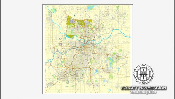
Kansas City, spanning both Missouri and Kansas, is divided into several districts and neighborhoods, each with its own distinct characteristics, history, and culture. Below are descriptions of some prominent districts and neighborhoods in both Kansas City, Missouri, and Kansas City, Kansas:
Kansas City, Missouri:
- Downtown Kansas City:
- Description: The downtown area is the central business district with a mix of modern skyscrapers, historic buildings, and cultural attractions. It includes the Power and Light District, known for its entertainment options, restaurants, and nightlife.
- Country Club Plaza:
- Description: Often referred to as “The Plaza,” this district is known for its Spanish-inspired architecture, upscale shopping, and dining. It’s a vibrant area with fountains, art, and a unique atmosphere.
- Westport:
- Description: Westport is a historic district with a lively entertainment scene, including bars, restaurants, and shops. It has a bohemian feel and is known for its historic significance in the city’s development.
- Crossroads Arts District:
- Description: This area is an artistic hub with galleries, studios, and performance spaces. It hosts the First Fridays event, drawing people for art walks, live music, and food.
- Midtown:
- Description: Midtown encompasses various neighborhoods like Westport, Hyde Park, and Southmoreland. It features a mix of residential areas, parks, and cultural attractions.
- Brookside:
- Description: A charming residential area with tree-lined streets, Brookside is known for its distinctive homes, local shops, and a friendly community atmosphere.
- Waldo:
- Description: Waldo is a historic neighborhood known for its locally owned businesses, diverse dining options, and a mix of residential architecture.
Kansas City, Kansas:
- Argentine:
- Description: Argentine is a historic district with a strong Hispanic influence. It has a mix of residential and industrial areas, with a focus on preserving its cultural heritage.
- Strawberry Hill:
- Description: Located in the northeast part of Kansas City, Kansas, Strawberry Hill is known for its historic homes, eclectic shops, and a rich cultural mix, including a large Eastern European influence.
- Nearman Park:
- Description: Nearman Park is a residential neighborhood with parks and green spaces. It offers a suburban feel with easy access to amenities and schools.
- Armourdale:
- Description: An industrial area with a history rooted in manufacturing and railroad activities, Armourdale has a mix of residential and commercial spaces.
- Village West:
- Description: Home to the Kansas Speedway and Legends Outlets, Village West is a thriving commercial and entertainment district, drawing visitors for shopping, dining, and sports events.
These descriptions provide a snapshot of the diverse neighborhoods and districts in both Kansas City, Missouri, and Kansas City, Kansas. Each area contributes to the overall character of the metropolitan region, creating a dynamic and culturally rich environment.
Vectormap.Net provide you with the most accurate and up-to-date vector maps in Adobe Illustrator, PDF and other formats, designed for editing and printing. Please read the vector map descriptions carefully.


 Author: Kirill Shrayber, Ph.D. FRGS