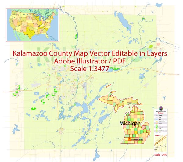
Kalamazoo County, Michigan, a general overview. Vectormap.Net provide you with the most accurate and up-to-date vector maps in Adobe Illustrator, PDF and other formats, designed for editing and printing. Please read the vector map descriptions carefully.
- Roads and Highways:
- Kalamazoo County likely has a network of roads and highways connecting its various cities, towns, and rural areas.
- Key highways might include Interstate 94, which passes through the southern part of the county, as well as other state and county roads.
- Public Transportation:
- The Kalamazoo Metro Transit Authority may operate public bus services within the county, connecting urban and suburban areas.
- Additionally, there might be regional or interstate bus services connecting Kalamazoo County with neighboring regions.
- Airports:
- Kalamazoo/Battle Creek International Airport is the primary airport serving the region. It provides domestic flights and serves as a transportation hub for the area.
- Railways:
- Kalamazoo County may have railway infrastructure, serving both freight and passenger services. The presence of railways can facilitate the transportation of goods and support local industries.
- Bike and Pedestrian Infrastructure:
- Some communities within Kalamazoo County may have developed bike lanes, pedestrian paths, or trails to promote non-motorized transportation.
- Infrastructure Maintenance and Upgrades:
- Like many areas, Kalamazoo County likely engages in ongoing maintenance and improvement projects to ensure the safety and efficiency of its transportation infrastructure.
For the most accurate and up-to-date information, you should check with local transportation authorities, the county government, or regional planning departments. They often provide details about ongoing projects, road conditions, and public transportation services. Additionally, local news sources may cover transportation-related developments in the area.


 Author: Kirill Shrayber, Ph.D. FRGS