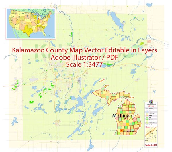
Kalamazoo County is a county located in the U.S. state of Michigan. A general information about the county. Vectormap.Net provide you with the most accurate and up-to-date vector maps in Adobe Illustrator, PDF and other formats, designed for editing and printing. Please read the vector map descriptions carefully.
- Geography:
- Location: Kalamazoo County is situated in the southwestern part of Michigan, in the United States.
- Adjacent Counties: It shares borders with several other counties, including Allegan County to the northwest, Barry County to the northeast, Calhoun County to the east, and Van Buren County to the west.
- County Seat:
- The county seat of Kalamazoo County is the city of Kalamazoo, which is also the largest city in the county.
- Cities and Towns:
- Besides Kalamazoo, other significant cities and towns in the county include Portage, Galesburg, and Parchment.
- Economy:
- Kalamazoo County has a diverse economy that includes manufacturing, healthcare, education, and technology sectors.
- The presence of Western Michigan University and Kalamazoo College contributes to the educational and cultural aspects of the county.
- Education:
- Kalamazoo County is home to Western Michigan University, a major public research university.
- Kalamazoo College, a private liberal arts college, is also located in the county.
- Healthcare:
- The county is known for its healthcare facilities, including the Bronson Methodist Hospital in Kalamazoo.
- Recreation and Culture:
- The county offers various recreational opportunities with parks, nature reserves, and outdoor activities.
- Kalamazoo has cultural attractions such as museums, theaters, and art galleries.
- Transportation:
- Kalamazoo County is well-connected by road and is served by major highways, including I-94 and US-131.
- The Kalamazoo/Battle Creek International Airport provides air transportation.
- History:
- Kalamazoo County has a rich history, with European settlers arriving in the early 19th century.
- The county has played a role in the development of the paper industry and has a heritage of manufacturing.
- Demographics:
- The population, demographics, and other statistical information can change over time. For the latest and most accurate data, it is recommended to refer to recent census reports or official county sources.


 Author: Kirill Shrayber, Ph.D. FRGS