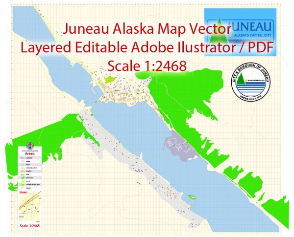
Juneau is the capital city of Alaska, the largest state in the United States by area. It is located in the southeastern part of the state and is known for its stunning natural beauty, rich history, and unique character. Here is a detailed description of Juneau:
Geography: Juneau is situated on the Gastineau Channel, surrounded by mountains and water. The city is nestled between the Coast Mountains to the west and the Juneau Icefield to the north. The Mendenhall Glacier, a popular tourist attraction, is located just 12 miles from downtown.
Climate: Juneau experiences a maritime climate with relatively mild temperatures compared to other parts of Alaska. Winters are cool, with temperatures often hovering around freezing, while summers are mild with temperatures ranging from the 50s to the 60s (°F).
History: The city has a rich Native American heritage, with the Tlingit people inhabiting the area for thousands of years. Russian explorers arrived in the 18th century, followed by European and American settlers during the Gold Rush in the late 19th century. Juneau became the capital of Alaska in 1906.
Economy: Juneau’s economy has historically been based on government jobs, tourism, and fishing. As the capital of Alaska, it hosts the state government offices. The city is also a popular destination for cruise ships, drawing tourists who come to explore the scenic beauty and outdoor activities.
Attractions:
- Mendenhall Glacier: A spectacular glacier located just outside the city, offering opportunities for hiking and wildlife viewing.
- Tracy Arm Fjord: A stunning fjord known for its towering glaciers, waterfalls, and wildlife.
- Alaska State Capitol: The seat of government for the state, where visitors can learn about Alaska’s political history.
- Mount Roberts Tramway: A cable car that takes visitors to the top of Mount Roberts, providing breathtaking views of Juneau and the surrounding landscapes.
- Alaska State Museum: Showcasing the state’s cultural and natural history, including Native Alaskan art and artifacts.
Culture: Juneau has a vibrant cultural scene with various festivals, art galleries, and theaters. The Alaska Folk Festival and Juneau Jazz and Classics are among the notable cultural events.
Outdoor Activities: The city offers a plethora of outdoor activities, including hiking, fishing, whale watching, and kayaking. The surrounding wilderness provides ample opportunities for adventure and exploration.
Transportation: While Juneau is the only U.S. state capital with no road access to the rest of the state, it is well-connected by air and sea. The Juneau International Airport serves as the main gateway, and ferry services connect the city to other parts of Southeast Alaska.
In summary, Juneau is a captivating city surrounded by awe-inspiring natural beauty, offering a unique blend of history, culture, and outdoor adventures. Whether you’re interested in exploring glaciers, learning about Native American heritage, or simply enjoying the picturesque landscapes, Juneau has something to offer for every visitor.
Vectormap.Net provide you with the most accurate and up-to-date vector maps in Adobe Illustrator, PDF and other formats, designed for editing and printing. Please read the vector map descriptions carefully.


 Author: Kirill Shrayber, Ph.D. FRGS