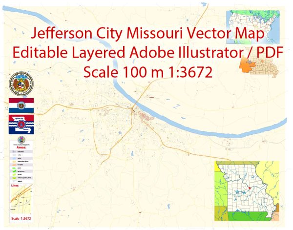
Jefferson City is the capital city of the state of Missouri in the United States. Vectormap.Net provide you with the most accurate and up-to-date vector maps in Adobe Illustrator, PDF and other formats, designed for editing and printing. Please read the vector map descriptions carefully. Here is a detailed description of Jefferson City:
Geography: Jefferson City is located in the central part of Missouri, along the Missouri River. It serves as the seat of Cole County and is situated approximately midway between the larger cities of St. Louis and Kansas City. The city is characterized by rolling hills and is known for its picturesque surroundings.
History: Founded in 1821, Jefferson City was selected as the state capital when Missouri was admitted to the Union in 1821. It was named after Thomas Jefferson, the third President of the United States. The city played a significant role in the westward expansion of the United States and has a rich history tied to the development of Missouri as a state.
Government: Being the capital, Jefferson City houses the Missouri State Capitol, where the legislative and executive branches of the state government are located. The Capitol building is an iconic structure and a notable landmark in the city. The Governor’s Mansion, another historic site, is also located in Jefferson City.
Economy: Jefferson City’s economy is diversified, with government, healthcare, education, and manufacturing sectors playing crucial roles. As the state capital, government jobs and services are significant contributors to the local economy. The city is home to several state government offices and agencies.
Education: The city is served by the Jefferson City School District, providing education to students in the area. Higher education institutions in and around Jefferson City include Lincoln University and a campus of Columbia College.
Culture and Recreation: Jefferson City offers a mix of cultural and recreational opportunities. The Missouri State Museum, located in the Capitol, showcases the state’s history, while the Missouri State Penitentiary, a historic prison, offers tours for visitors. The city has parks, trails, and outdoor spaces for recreational activities. The Missouri River also provides opportunities for water-related activities.
Transportation: The city is accessible by major highways, including U.S. Route 54 and U.S. Route 50. The Jefferson City Memorial Airport serves the region, providing air transportation. The Missouri River and a railway system also contribute to the city’s connectivity.
Community and Demographics: Jefferson City has a diverse population, and its community reflects the cultural and economic diversity of Missouri. The city is known for its friendly atmosphere and community engagement.
For the most current and specific information, it’s recommended to refer to local sources or recent publications.


 Author: Kirill Shrayber, Ph.D. FRGS