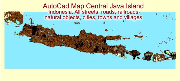
A general overview of the infrastructure in Indonesia, with a focus on Java, which is the most populous island in the country and home to the capital city, Jakarta.
- Transportation:
- Roads: Java has an extensive road network, with highways connecting major cities. Jakarta, in particular, faces issues of traffic congestion.
- Railways: Java has a well-developed railway system, with the majority of train services connecting major cities. The government has been investing in high-speed rail projects to improve connectivity.
- Airports: Java is served by several international and domestic airports. Soekarno-Hatta International Airport in Jakarta is the busiest and serves as a major hub.
- Ports and Shipping:
- Ports: Major ports on Java include Tanjung Priok in Jakarta, Tanjung Perak in Surabaya, and others. These ports play a crucial role in the country’s trade and logistics.
- Energy Infrastructure:
- Power Generation: Java hosts several power plants, including thermal, hydroelectric, and geothermal facilities. The government has been investing in increasing power capacity to meet growing demand.
- Telecommunications:
- Internet Connectivity: Indonesia has been working on improving its internet infrastructure. The use of mobile phones and internet services is widespread, and efforts have been made to expand broadband access.
- Water Supply and Sanitation:
- Water Management: Access to clean water and sanitation facilities remains a challenge in some areas. Efforts are ongoing to improve water supply and sanitation infrastructure.
- Urban Development:
- Jakarta: As the capital city, Jakarta has seen significant urban development projects. Flood control measures, public transportation improvements, and efforts to address urban challenges are ongoing.
- Infrastructure Projects:
- Indonesia has been investing in various infrastructure projects to support economic development. These projects include the construction of new roads, bridges, airports, and seaports.
- Challenges:
- Despite progress, challenges such as traffic congestion, inadequate infrastructure in some areas, and environmental concerns persist.
Vectormap.Net provide you with the most accurate and up-to-date vector maps in Adobe Illustrator, PDF and other formats, designed for editing and printing. Please read the vector map descriptions carefully. For the latest and more detailed information, it is recommended to refer to recent reports or official sources.


 Author: Kirill Shrayber, Ph.D. FRGS