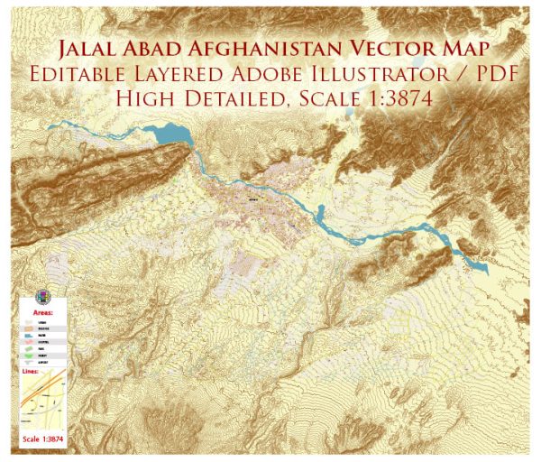
Jalalabad, Afghanistan, a general overview based on common features of Afghan cities and the historical context. Vectormap.Net provide you with the most accurate and up-to-date vector maps in Adobe Illustrator, PDF and other formats, designed for editing and printing. Please read the vector map descriptions carefully.
- Transportation:
- Roads: Jalalabad is connected to other major cities in Afghanistan through a network of roads. The quality of roads may vary, and some routes could be affected by security concerns.
- Airport: Jalalabad has an airport, Jalalabad Airport, which facilitates domestic flights.
- Utilities:
- Electricity: Access to electricity can vary, with some areas relying on the national grid, and others using alternative sources.
- Water and Sanitation: The city typically has a mix of formal and informal water supply systems, with variations in accessibility and quality.
- Commercial and Residential Areas:
- Markets and Commercial Centers: Jalalabad likely has traditional markets and commercial areas where residents can access goods and services.
- Residential Areas: The city is expected to have both urban and suburban residential areas, with a mix of housing types.
- Educational and Healthcare Facilities:
- Schools and Universities: Jalalabad would have educational institutions catering to various levels of education.
- Hospitals and Clinics: Healthcare facilities are essential, and the city is likely to have hospitals and clinics serving the population.
- Cultural and Recreational Facilities:
- Mosques: Given the cultural and religious significance of Islam in Afghanistan, Jalalabad is expected to have mosques serving the spiritual needs of the population.
- Parks and Recreational Spaces: Cities often have parks and recreational areas where residents can engage in leisure activities.
- Security Considerations:
- The security situation in Jalalabad can influence infrastructure and public services. Security concerns have historically impacted various aspects of life in Afghanistan.
- Development Challenges:
- Like many cities in Afghanistan, Jalalabad may face challenges related to infrastructure development, including the need for improvements in transportation, utilities, and other essential services.
It’s crucial to recognize that the situation in Afghanistan, including the city of Jalalabad, is dynamic and influenced by various factors, including political, economic, and security conditions. For the latest and most accurate information, it’s recommended to refer to recent reports, official statements, or on-the-ground sources.


 Author: Kirill Shrayber, Ph.D. FRGS