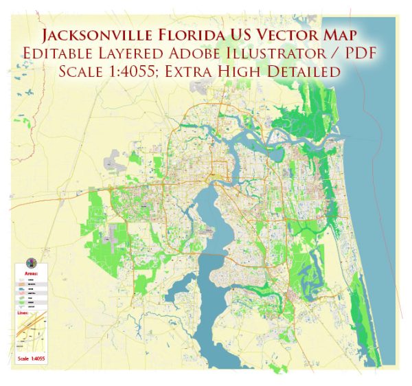
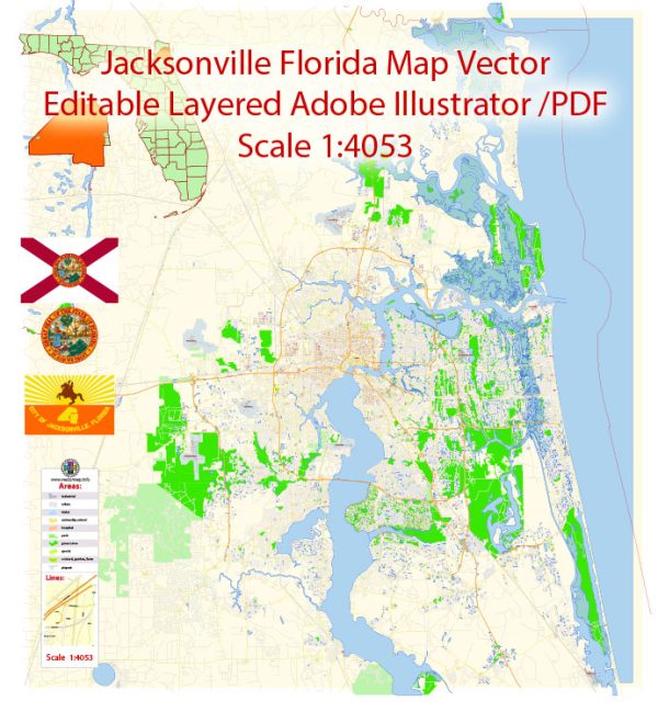
Jacksonville, Florida, is the largest city by area in the United States, and it is divided into several districts and neighborhoods, each with its own unique character and charm. Vectormap.Net provide you with the most accurate and up-to-date vector maps in Adobe Illustrator, PDF and other formats, designed for editing and printing. Please read the vector map descriptions carefully. Here are some notable districts and neighborhoods in Jacksonville:
- Downtown Jacksonville:
- The central business district with high-rise buildings, offices, and cultural institutions.
- The Riverwalk along the St. Johns River offers scenic views.
- Notable attractions include the Jacksonville Landing, MOCA Jacksonville, and the Florida Theatre.
- Riverside and Avondale:
- Historic districts with charming, tree-lined streets and historic homes.
- The Five Points area is known for its eclectic mix of shops, restaurants, and art galleries.
- Riverside Arts Market is a popular weekly market along the river.
- San Marco:
- A trendy area known for its Mediterranean Revival architecture and upscale boutiques.
- San Marco Square is a hub for dining, shopping, and entertainment.
- Southbank Riverwalk offers beautiful riverfront views.
- Springfield:
- One of Jacksonville’s oldest neighborhoods, undergoing revitalization efforts.
- Known for its historic architecture and community events.
- Southside:
- A diverse area with shopping centers, restaurants, and residential neighborhoods.
- St. Johns Town Center is a large outdoor shopping mall with a mix of upscale and popular retail stores.
- Mandarin:
- Located along the St. Johns River, known for its historic homes and parks.
- Offers a suburban feel with various recreational opportunities.
- Beaches (Atlantic Beach, Neptune Beach, Jacksonville Beach):
- Coastal communities with sandy beaches, a vibrant nightlife scene, and oceanfront dining.
- Popular for water sports and outdoor activities.
- Arlington:
- Residential neighborhoods with a mix of housing options.
- Home to Jacksonville University and the Jacksonville Arboretum & Gardens.
- Westside:
- A mix of industrial areas, suburban neighborhoods, and parks.
- The Cecil Commerce Center is a major business and industrial park.
- Northside:
- Features the Jacksonville International Airport and residential neighborhoods.
- The Jacksonville Zoo and Gardens is a major attraction in this area.
It’s important to explore each neighborhood to get a sense of its unique character and amenities. Additionally, keep in mind that urban development and community dynamics may have evolved since my last update. Consider checking local sources and recent community updates for the latest information on Jacksonville’s districts and neighborhoods.


 Author: Kirill Shrayber, Ph.D. FRGS