Italy is a country with a diverse and picturesque geography, featuring several rivers and lakes. Here are some of the notable rivers and lakes in Italy:
Rivers:
- Po River:
- The longest river in Italy, flowing eastward across northern Italy.
- It traverses major cities such as Turin, Milan, and Venice before emptying into the Adriatic Sea.
- The Po River basin is vital for agriculture and supports various ecosystems.
- Tiber River (Fiume Tevere):
- Flows through the heart of Italy, including Rome, the capital city.
- The Tiber has historical significance and is mentioned in ancient Roman texts.
- It discharges into the Tyrrhenian Sea.
- Adige River:
- The second-longest river in Italy, flowing through the Alps in the northern part of the country.
- It passes through cities like Verona and Trento before entering the Adriatic Sea.
- Arno River:
- Flows through the Tuscany region, passing through Florence and Pisa.
- The Arno is culturally significant and has been a source of inspiration for many artists.
- Adda River:
- Originates in the Alps and flows through Lombardy, joining the Po River.
- Important for hydroelectric power generation and irrigation.
- Tanaro River:
- Flows through the Piedmont region, joining the Po River.
- Known for its scenic valleys and vineyards.
- Isonzo River:
- Flows through the northeastern part of Italy, originating in the Julian Alps.
- Known for its clear waters and importance during World War I.
Lakes:
- Lake Garda (Lago di Garda):
- The largest lake in Italy, located in the northern part of the country.
- Surrounded by picturesque towns and landscapes, it is a popular tourist destination.
- Lake Como (Lago di Como):
- Renowned for its stunning scenery and luxurious villas along its shores.
- A popular retreat for celebrities and tourists alike.
- Lake Maggiore (Lago Maggiore):
- Straddles the border between Italy and Switzerland.
- Features the Borromean Islands and is surrounded by mountains.
- Lake Trasimeno (Lago Trasimeno):
- Located in the Umbria region, it is the largest lake in central Italy.
- Historic sites, including islands with ruins, are situated in the lake.
- Lake Bolsena (Lago di Bolsena):
- One of Italy’s largest volcanic lakes, located in the Lazio region.
- Features crystal-clear waters and a volcanic crater island.
- Lake Iseo (Lago d’Iseo):
- Situated in Lombardy, known for its tranquility and the presence of Monte Isola, the largest lake island in Italy.
These rivers and lakes contribute to Italy’s natural beauty and play a significant role in the country’s culture, history, and economy. They also provide opportunities for various recreational activities and tourism.
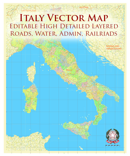
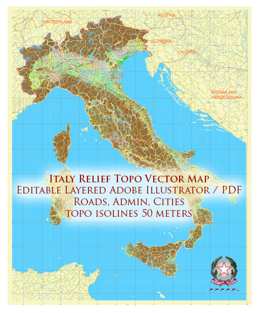
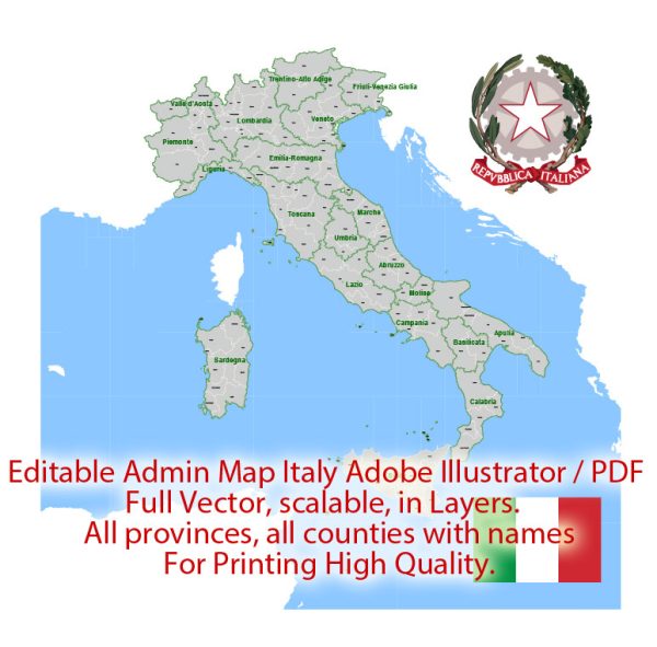
Vectormap.Net provide you with the most accurate and up-to-date vector maps in Adobe Illustrator, PDF and other formats, designed for editing and printing. Please read the vector map descriptions carefully.

 Author: Kirill Shrayber, Ph.D. FRGS