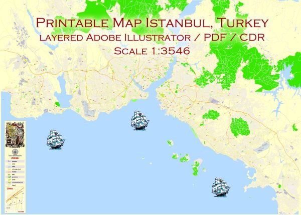
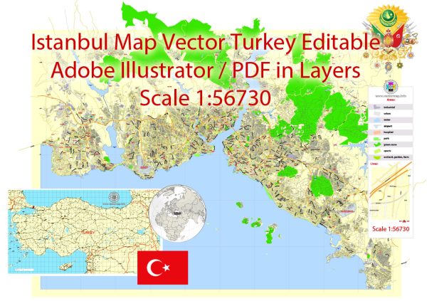
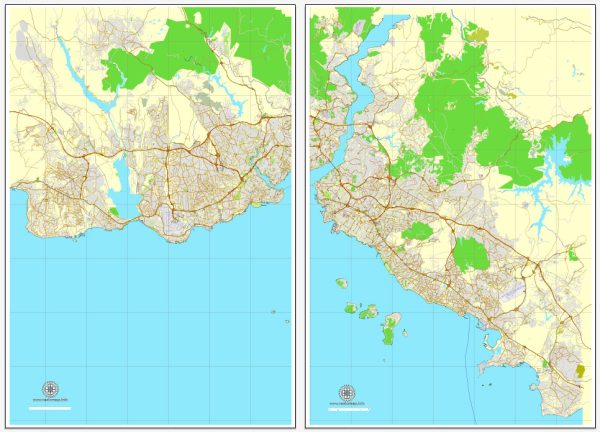
Vector Maps of the Istanbul : major city in Turkey that straddles Europe and Asia across the Bosphorus Strait. Its Old City reflects cultural influences of the many empires that once ruled here. In the Sultanahmet district, the open-air, Roman-era Hippodrome was for centuries the site of chariot races, and Egyptian obelisks also remain. The iconic Byzantine Hagia Sophia features a soaring 6th-century dome and rare Christian mosaics.
Area: 5,343 km²
Download royalty free, editable vector maps of Istanbul Turkey in high resolution digital PDF and Adobe Illustrator format.
Map — Istanbul Turkey City Vector Map
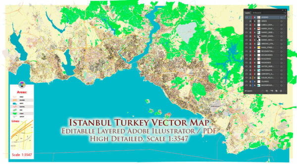
A clean map of Istanbul Turkey City Vector Map with named layers and consistent geometry for fast cartographic work. Waterfronts and parks receive extra separation for better contrast on light palettes. The file accepts custom grids, legends and callouts without redrawing base content. Coordinates and scales are prepared for sheet production and consistent exports. Contours and landuse layers can be toggled to match tourism or planning use cases. Layer structure separates arterials and locals, districts, hydrography, parks and landmarks.
Use it for visitor guides, city infographics, investment decks and municipal communications. Saves prepress time by reducing manual fixes and keeping the visual system consistent. The map integrates neatly with common DTP and GIS workflows. Keeps labels readable while allowing deep customization of routes and highlights.


 Author: Kirill Shrayber, Ph.D. FRGS