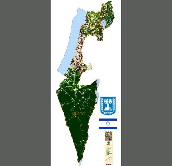
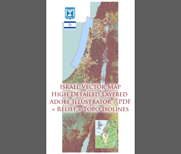
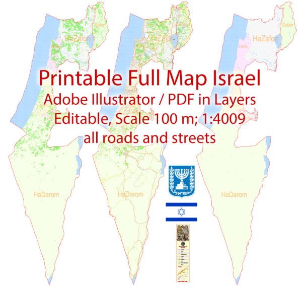
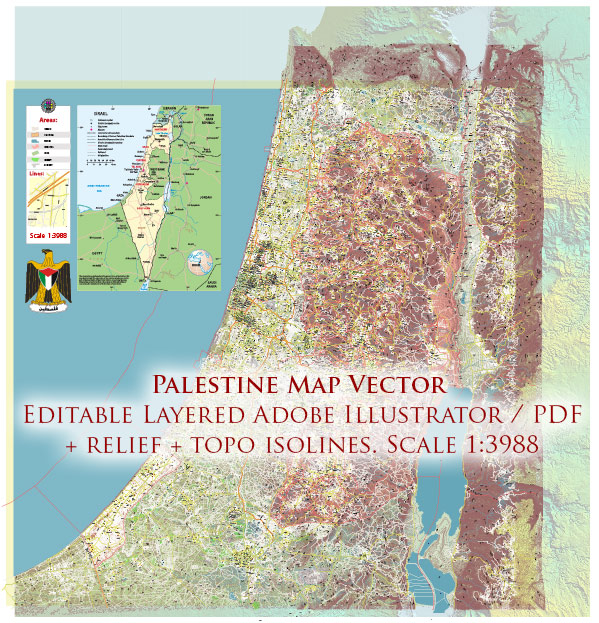
Israel is a country located in the Middle East, on the southeastern shore of the Mediterranean Sea. It shares borders with Lebanon to the north, Syria to the northeast, Jordan to the east, and Egypt to the southwest. The country has a diverse cultural and historical heritage, with significant religious and historical importance for Judaism, Christianity, and Islam.
Key points about Israel include:
- Capital and Largest City: Jerusalem is the capital city, but Tel Aviv is the economic and technological hub and is often considered the country’s cultural capital.
- Official Language: Hebrew and Arabic are the official languages.
- Religions: Israel is a significant center for Judaism, Christianity, and Islam. Jerusalem, in particular, is a holy city for Judaism, Christianity, and Islam.
- Government: Israel is a parliamentary democracy with a President as the head of state and a Prime Minister as the head of government.
- Conflict: The Israeli-Palestinian conflict has been a long-standing and complex issue in the region, involving disputes over territory, borders, and the rights of both Israelis and Palestinians.
- Economy: Israel has a highly developed and technologically advanced economy, with strengths in sectors like high-tech industries, agriculture, and tourism.
- Innovation: The country is known for its innovation and has a strong emphasis on research and development, particularly in the fields of technology and science.
- Military: Israel maintains a strong and technologically advanced military, partially due to security concerns stemming from regional conflicts.
- Geography: Despite its small size, Israel has diverse landscapes, including coastal plains, mountainous regions, and the Negev Desert.
- Population: Israel is home to a diverse population, including Jews, Arabs, and various religious and ethnic communities.
Vectormap.Net provide you with the most accurate and up-to-date vector maps in Adobe Illustrator, PDF and other formats, designed for editing and printing. Please read the vector map descriptions carefully.


 Author: Kirill Shrayber, Ph.D. FRGS