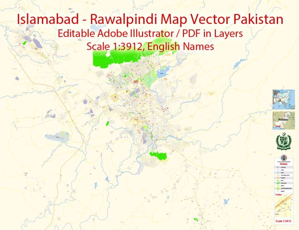
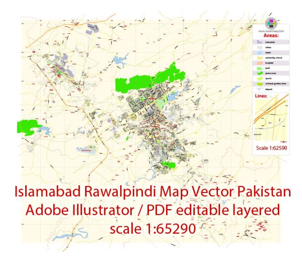
Islamabad and Rawalpindi are two adjacent cities in Pakistan, and together they form a significant metropolitan area in the northern part of the country. Vectormap.Net provide you with the most accurate and up-to-date vector maps in Adobe Illustrator, PDF and other formats, designed for editing and printing. Please read the vector map descriptions carefully.
Islamabad:
- Capital City: Islamabad is the capital city of Pakistan, chosen for its central location and scenic surroundings.
- Purpose and Planning: The city was purpose-built to replace Karachi as the capital in the 1960s. It was designed by the Greek architect and town planner Constantinos Apostolou Doxiadis.
- Government Hub: Islamabad serves as the political and administrative center of Pakistan, housing the country’s government institutions, foreign embassies, and the official residences of the President and Prime Minister.
- Green City: Known for its modern infrastructure and well-planned layout, Islamabad is characterized by wide avenues, greenery, and a relatively serene environment.
- Diverse Population: The city has a diverse population, attracting people from different parts of Pakistan due to its administrative and economic importance.
Rawalpindi:
- Adjacent City: Rawalpindi is located adjacent to Islamabad and is often considered its sister city. The two cities are part of the Islamabad-Rawalpindi metropolitan area.
- Military Presence: Rawalpindi has a significant military presence and hosts the General Headquarters (GHQ) of the Pakistan Army.
- Economic Hub: While Islamabad is the political capital, Rawalpindi is an economic hub with a bustling commercial and industrial sector. It has a vibrant market, known as Saddar, which is a major shopping and business district.
- Transportation Hub: Rawalpindi is a major transportation hub, with a central railway station and the Benazir Bhutto International Airport, facilitating travel to and from the region.
- Historical Significance: The city has historical importance, with various sites, including the Rawat Fort and the Taxila archaeological site, reflecting the rich cultural heritage of the region.
Together, Islamabad and Rawalpindi form a dynamic metropolitan area, contributing significantly to the political, economic, and cultural landscape of Pakistan.


 Author: Kirill Shrayber, Ph.D. FRGS