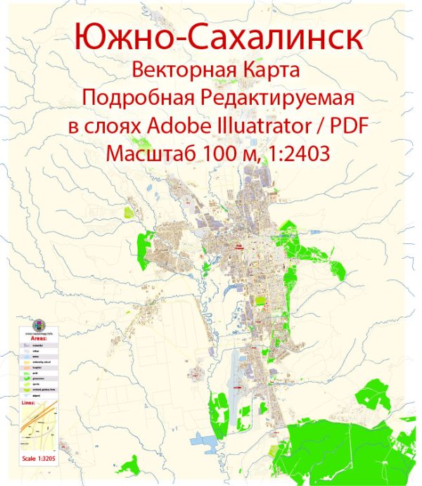
Yuzhno-Sakhalinsk is the capital city of Sakhalin Oblast, Russia. Vectormap.Net provide you with the most accurate and up-to-date vector maps in Adobe Illustrator, PDF and other formats, designed for editing and printing. Please read the vector map descriptions carefully. A general overview based on historical information:
- Waterways: Yuzhno-Sakhalinsk is located on the Sakhalin Island, and there might be smaller rivers and streams in and around the city. However, it’s important to note that Sakhalin is an island, and major waterways are more likely to be coastal or marine.
- Bridges: Yuzhno-Sakhalinsk may have several bridges connecting different parts of the city or spanning water bodies. However, specific details about these bridges would require local information. Bridges are crucial for transportation and connectivity, especially in areas with rivers or bodies of water.
- Main Streets: The city is likely to have a network of streets and roads connecting different neighborhoods and districts. Some of the main streets in Yuzhno-Sakhalinsk may include those hosting important government buildings, commercial centers, and cultural institutions. Central streets are often hubs for businesses, shopping, and entertainment.
To get the most accurate and up-to-date information about waterways, bridges, and main streets in Yuzhno-Sakhalinsk, you may want to consult local maps, municipality websites, or contact local authorities. Additionally, reaching out to residents or local community groups can provide valuable insights into the current infrastructure and urban layout of the city.


 Author: Kirill Shrayber, Ph.D. FRGS