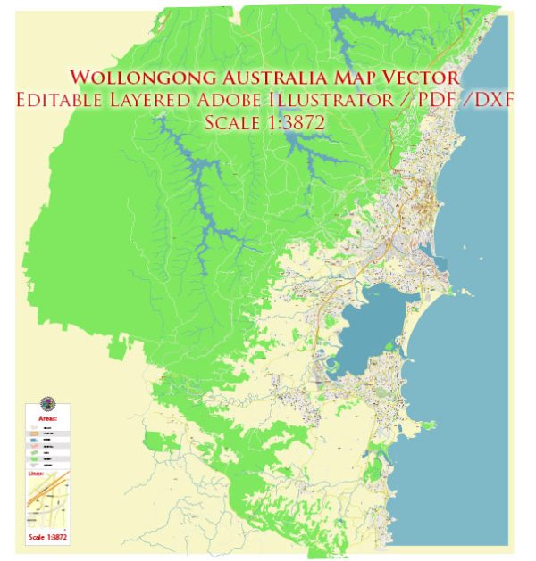
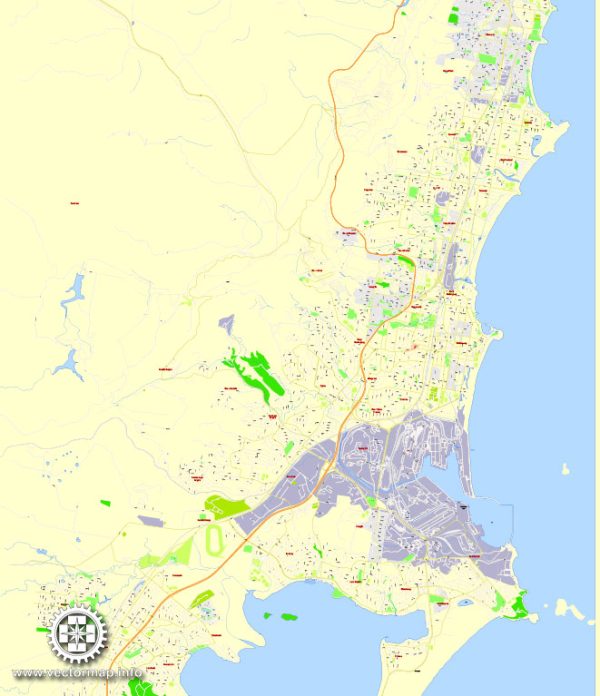
Some general information about Wollongong’s principal waterways, bridges, and main streets. Vectormap.Net provide you with the most accurate and up-to-date vector maps in Adobe Illustrator, PDF and other formats, designed for editing and printing. Please read the vector map descriptions carefully.
Waterways:
- Wollongong Harbor: The harbor is a significant waterway in Wollongong, providing access to the Pacific Ocean. It is utilized for recreational purposes, and there are various waterfront activities and establishments along its shores.
- Mangerton Creek: This creek flows through parts of Wollongong, contributing to the local drainage system. It may not be a major waterway for navigation, but it plays a role in the local landscape.
Bridges:
- Mount Keira Road Bridge: This bridge spans across the Mount Keira Road, connecting different parts of Wollongong and providing a crucial transportation link.
- Princes Highway Bridge: The Princes Highway is a major road in Australia, and bridges along this route in Wollongong are essential for the flow of traffic.
Main Streets:
- Crown Street: Crown Street is one of the main streets in Wollongong’s central business district. It is lined with shops, restaurants, and various businesses, making it a hub of activity.
- Keira Street: Another important street in Wollongong, Keira Street, intersects with Crown Street and hosts various commercial and retail establishments.
- Princes Highway: While not a street within Wollongong’s CBD, the Princes Highway is a major road passing through the city. It connects Wollongong to other towns and cities, playing a crucial role in regional transportation.
- Market Street: Located in the central area, Market Street is known for its markets and diverse shopping options.
Please note that urban developments, road constructions, or changes in infrastructure may have occurred since my last update. For the most accurate and current information, it’s recommended to consult local maps, authorities, or official city websites.


 Author: Kirill Shrayber, Ph.D. FRGS