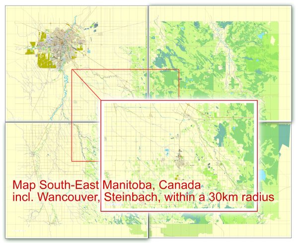
Winnipeg and Steinbach, Canada, a general overview of the main waterways, bridges, and some major streets in these locations as of that time. Vectormap.Net provide you with the most accurate and up-to-date vector maps in Adobe Illustrator, PDF and other formats, designed for editing and printing. Please read the vector map descriptions carefully.
Winnipeg:
Waterways:
- Red River: The Red River flows north through Winnipeg and is a significant waterway in the region.
Bridges:
- Esplanade Riel: A pedestrian bridge spanning the Red River, offering stunning views of the cityscape.
- Provencher Bridge: Connects St. Boniface and downtown Winnipeg over the Red River.
Main Streets:
- Portage Avenue: One of the primary east-west streets in downtown Winnipeg, featuring shopping and business districts.
- Main Street: Runs north-south through the city, passing through the downtown area.
Steinbach:
Waterways:
- Seine River: The Seine River flows through or near Steinbach, contributing to the local landscape.
Bridges:
- Brandt Street Bridge: A bridge crossing the Seine River, connecting different parts of Steinbach.
Main Streets:
- Main Street: Likely a central artery for the town, hosting various businesses and services.
For the most up-to-date and detailed information, I recommend checking with local government resources, city planning departments, or online maps. These sources will provide the latest information on roads, streets, bridges, and waterways in Winnipeg and Steinbach. Additionally, local tourism websites or city guides may offer insights into popular and significant landmarks in these areas.


 Author: Kirill Shrayber, Ph.D. FRGS