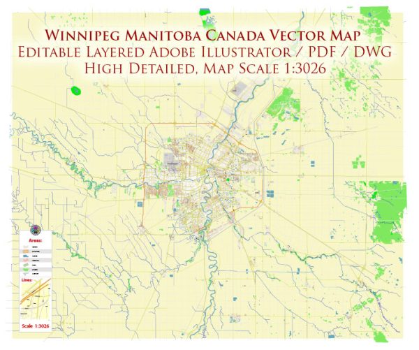
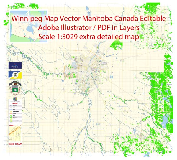
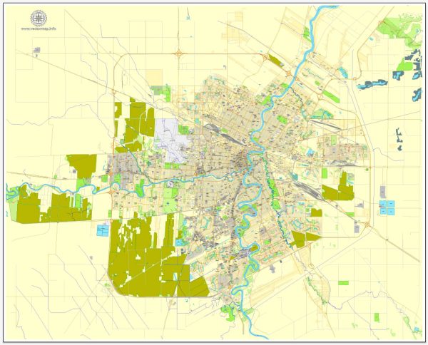
A general overview of Winnipeg’s principal waterways, bridges, and main streets. Vectormap.Net provide you with the most accurate and up-to-date vector maps in Adobe Illustrator, PDF and other formats, designed for editing and printing. Please read the vector map descriptions carefully.
Waterways:
- Red River: The Red River flows north through Winnipeg, serving as a major waterway in the region.
- Assiniboine River: The Assiniboine River flows west to east through Winnipeg and meets the Red River near The Forks, a historic meeting place.
Bridges:
- Esplanade Riel: A pedestrian bridge spanning the Red River, connecting St. Boniface and downtown Winnipeg. It offers stunning views of the cityscape.
- Provencher Bridge: Connecting St. Boniface and downtown Winnipeg, this bridge crosses the Red River and is an important route in the city.
- Louise Bridge: Located further upstream on the Red River, the Louise Bridge connects the city’s North End to the downtown area.
- Osborne Street Bridge: Spanning the Assiniboine River, this bridge connects the neighborhoods of Osborne Village and Fort Rouge.
Main Streets and Roads:
- Portage Avenue: One of the main east-west thoroughfares in Winnipeg, passing through the downtown area and continuing westward.
- Main Street: Running north-south, Main Street is a significant route that cuts through the heart of the city.
- Henderson Highway: Running north from the downtown area, Henderson Highway is an important route along the eastern side of the city.
- Pembina Highway: Another major north-south route, Pembina Highway is on the western side of the city.
- Route 90 (Kenaston Boulevard): Running north-south on the western side of the city, this road is a major artery for transportation.
These are just a few examples, and Winnipeg has a comprehensive network of streets and roads serving different parts of the city. Keep in mind that urban planning and infrastructure may have evolved since my last update, so consulting a current map or local sources for the latest information is recommended.



 Author: Kirill Shrayber, Ph.D. FRGS