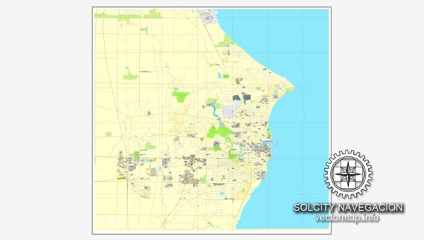
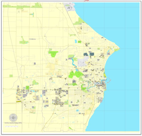
Wind Point is a village located in Racine County, Wisconsin, United States, some general information about the area.
Vectormap.Net provide you with the most accurate and up-to-date vector maps in Adobe Illustrator, PDF and other formats, designed for editing and printing. Please read the vector map descriptions carefully.
Waterways: Wind Point is situated along the western shore of Lake Michigan. While it doesn’t have major rivers running through it, the proximity to Lake Michigan is a significant geographical feature. The lake itself serves as a prominent waterway, offering recreational opportunities and influencing the local climate.
Bridges: There are a few bridges in the broader Racine area that provide connectivity across rivers and water bodies, but specific details about bridges in Wind Point may require local resources or updates from municipal authorities.
Main Streets and Roads: The village is characterized by residential areas and is served by a network of local streets and roads. One of the main roads in the area is Lighthouse Drive, which runs through Wind Point and provides access to the iconic Wind Point Lighthouse.
For the most accurate and up-to-date information about specific waterways, bridges, and roads in Wind Point, it is recommended to contact the local municipality or visit official local government websites. They may provide maps, infrastructure details, and any recent developments in the area. Local chambers of commerce or tourism offices may also have useful information for residents and visitors. Additionally, online mapping services like Vectormap.Net can offer a visual representation of the roads and geography in Wind Point.


 Author: Kirill Shrayber, Ph.D. FRGS