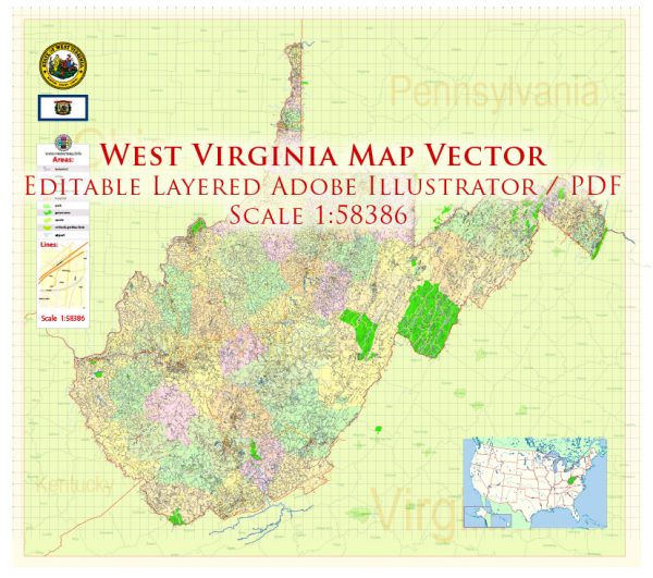
West Virginia is a state located in the Appalachian region of the United States. It is a landlocked state and is known for its mountainous terrain, natural beauty, and outdoor recreational opportunities. Here’s a general overview of some principal cities, waterways, and main roads in West Virginia:
Principal Cities:
- Charleston: The capital and largest city of West Virginia, located in the western part of the state along the Kanawha River. Charleston is an important economic and cultural hub.
- Huntington: Situated along the Ohio River in the western part of the state, Huntington is a major city and home to Marshall University.
- Morgantown: Located in the northern part of the state, Morgantown is home to West Virginia University and is known for its college town atmosphere.
- Parkersburg: Situated along the Ohio River in the western part of the state, Parkersburg is known for its historic architecture and as an industrial city.
- Wheeling: Located in the northern part of the state along the Ohio River, Wheeling has a rich history and was once a significant industrial and transportation center.
Waterways:
- Ohio River: Forms much of the western border of West Virginia, providing a major transportation route and scenic beauty.
- Kanawha River: A tributary of the Ohio River, flowing through the central part of the state and passing through Charleston.
- New River: Notable for its scenic beauty, the New River flows through the southern part of the state, offering opportunities for outdoor activities.
- Monongahela River: Forms part of the northern border of West Virginia, providing transportation and recreation.
- Greenbrier River: Flows through the southeastern part of the state, known for its clear water and scenic landscapes.
Main Roads:
- Interstate 64 (I-64): Runs east-west through the central part of the state, connecting Huntington and Charleston.
- Interstate 77 (I-77): Runs north-south through the western part of the state, connecting Parkersburg and Charleston.
- Interstate 79 (I-79): Runs north-south through the central part of the state, connecting Charleston and Morgantown.
- U.S. Route 50: Crosses the state from east to west, passing through cities like Parkersburg and Clarksburg.
- U.S. Route 19: Runs north-south through the state, connecting cities like Morgantown and Beckley.
Vectormap.Net provide you with the most accurate and up-to-date vector maps in Adobe Illustrator, PDF and other formats, designed for editing and printing. Please read the vector map descriptions carefully.


 Author: Kirill Shrayber, Ph.D. FRGS