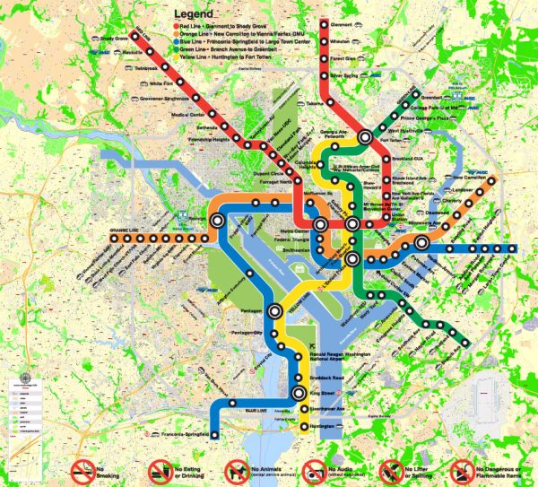
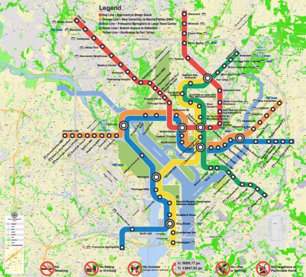
Washington, D.C. and Arlington, Virginia, are located along the Potomac River and are connected by several bridges and major roadways. Here’s a brief description of some of the principal waterways, bridges, and main streets and roads in these areas:
Waterways:
- Potomac River:
- The Potomac River flows along the western edge of Washington, D.C., separating the city from Virginia.
- It serves as a natural boundary and offers scenic views of landmarks such as the Washington Monument and the Lincoln Memorial.
Bridges:
- Key Bridge:
- Connecting Georgetown in Washington, D.C., to Rosslyn in Arlington, the Key Bridge is a historic and iconic structure.
- It provides both vehicular and pedestrian access across the Potomac River.
- Arlington Memorial Bridge:
- This bridge connects the Lincoln Memorial in Washington, D.C., to Arlington National Cemetery in Virginia.
- It is a prominent memorial structure with a central arch and serves as a key route to the cemetery.
- Francis Scott Key Bridge:
- Also known as the Key Bridge, it connects the neighborhoods of Georgetown in Washington, D.C., and Rosslyn in Arlington, Virginia.
- Theodore Roosevelt Bridge:
- Spanning the Potomac River, this bridge connects the National Mall in Washington, D.C., to Arlington, Virginia.
Main Streets and Roads:
- Arlington Boulevard (Route 50):
- A major east-west highway that runs through Arlington and connects it to Washington, D.C.
- George Washington Memorial Parkway:
- This scenic parkway runs along the Potomac River, offering beautiful views of the monuments and providing a route from Mount Vernon to Arlington.
- Interstate 395 (I-395):
- A major interstate that passes through both Washington, D.C., and Arlington, connecting the two and extending southward.
- Independence Avenue:
- A significant east-west street in Washington, D.C., running parallel to the National Mall and connecting the U.S. Capitol to the Lincoln Memorial.
- Constitution Avenue:
- Another important east-west street in Washington, D.C., located north of the National Mall and connecting the Capitol to the Washington Monument.
- Rock Creek Parkway:
- Running alongside Rock Creek, this parkway provides a scenic route through parts of Washington, D.C.
These descriptions provide an overview of the major waterways, bridges, and roadways in Washington, D.C., and Arlington. Keep in mind that the road network is extensive, and there are many more streets and highways that contribute to the transportation infrastructure in the region.
Vectormap.Net provide you with the most accurate and up-to-date vector maps in Adobe Illustrator, PDF and other formats, designed for editing and printing. Please read the vector map descriptions carefully.


 Author: Kirill Shrayber, Ph.D. FRGS