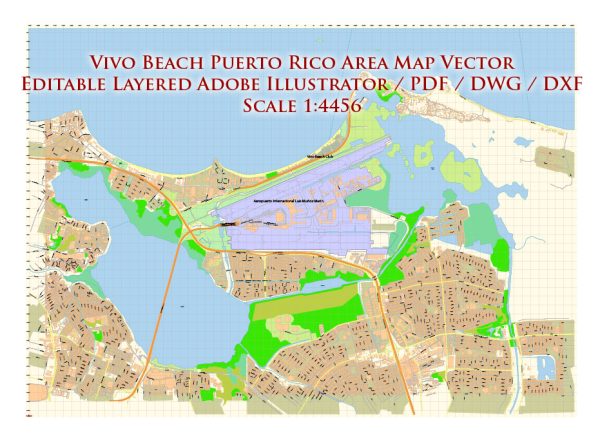
About the infrastructure overview of Vivo Beach in Puerto Rico, a general overview of the types of infrastructure typically associated with recreational beach areas:
- Beach Facilities:
- Boardwalks and Promenades: These are often built along the shoreline to provide walking areas for visitors.
- Restrooms and Changing Facilities: Public facilities for visitors to change into beach attire and use restroom facilities.
- Shade Structures: Umbrellas, palapas, or other structures providing shade for beachgoers.
- Recreational Areas:
- Sports Facilities: Depending on the location, there may be areas for beach volleyball, soccer, or other sports.
- Playgrounds: Family-friendly areas with playground equipment for children.
- Picnic Areas: Spaces for visitors to enjoy meals and picnics.
- Water Features:
- Water Sports Facilities: If applicable, there might be areas for water sports such as kayaking, paddleboarding, or jet skiing.
- Swimming Areas: Designated areas for safe swimming.
- Dining and Entertainment:
- Restaurants and Cafes: Eating establishments offering a variety of food options.
- Entertainment Venues: Depending on the location, there may be stages or areas for live performances or events.
- Parking and Transportation:
- Parking Facilities: Parking areas for visitors arriving by car.
- Transportation Access: Proximity to roads and transportation hubs for easy access.
- Environmental Considerations:
- Environmental Conservation: Efforts to protect and preserve the natural environment, including dunes, flora, and fauna.
- Waste Management: Proper disposal and recycling facilities.
For the most accurate and current information regarding the infrastructure at Vivo Beach in Puerto Rico, I recommend checking with local authorities, the official website of Vivo Beach, or contacting the management or owners directly. Additionally, recent reviews or information from local tourism boards may provide insights into the current state of the infrastructure.
Vectormap.Net provide you with the most accurate and up-to-date vector maps in Adobe Illustrator, PDF and other formats, designed for editing and printing. Please read the vector map descriptions carefully.


 Author: Kirill Shrayber, Ph.D. FRGS