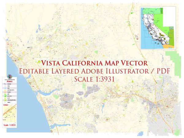
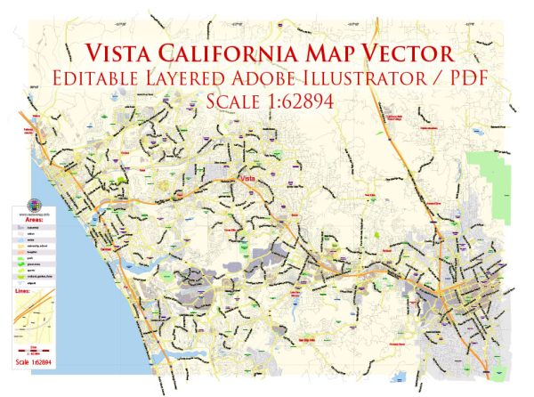
Vista is a city located in San Diego County, California, USA. Details about waterways, bridges, and streets, here is a general overview based on the information available up to 2023:
Vectormap.Net provide you with the most accurate and up-to-date vector maps in Adobe Illustrator, PDF and other formats, designed for editing and printing. Please read the vector map descriptions carefully.
- Waterways: Vista is not directly situated on a major river or coastline. However, there are smaller creeks and drainage channels in the area. Examples include Buena Vista Creek, which runs through parts of Vista, and the Guajome Lake, which is a man-made reservoir in the city.
- Bridges: Vista has several bridges that span over various roadways and water features. The specific bridges can be found throughout the city, serving to connect different neighborhoods and facilitate transportation.
- Main Streets and Highways:
- South Santa Fe Avenue: This is one of the main north-south thoroughfares in Vista, connecting various neighborhoods and commercial areas.
- East Vista Way: Another major road running through Vista, providing access to different parts of the city.
- Melrose Drive: This street runs parallel to South Santa Fe Avenue and serves as an important route for local traffic.
- Highway 78: Although not within the city limits, Highway 78 is a significant east-west freeway that is easily accessible from Vista, providing connections to neighboring cities and regions.
Please keep in mind that developments and changes in infrastructure may have occurred after my last update. For the most accurate and current information, it is recommended to check with local authorities, city planning departments, or use online mapping services that provide real-time data.


 Author: Kirill Shrayber, Ph.D.