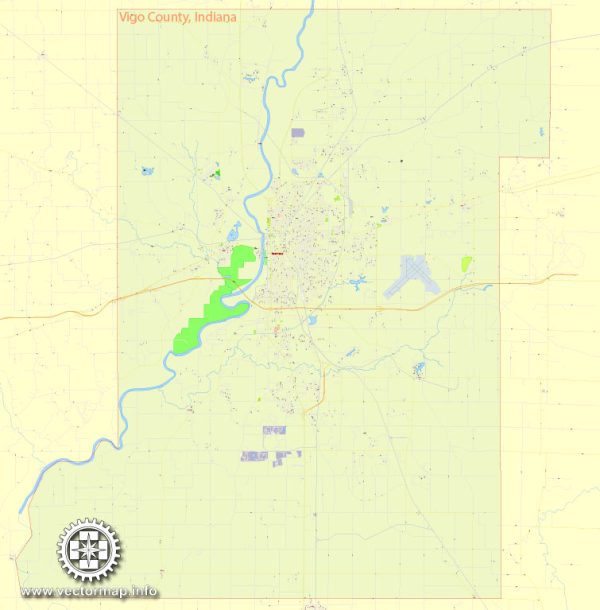
A general overview of Vigo County, Terre Haute, Indiana, including some of its principal waterways, bridges, and main streets. Vectormap.Net provide you with the most accurate and up-to-date vector maps in Adobe Illustrator, PDF and other formats, designed for editing and printing. Please read the vector map descriptions carefully.
Vigo County: Vigo County is located in western Indiana and is the home to the city of Terre Haute, which serves as the county seat. The county has a diverse landscape with a mix of urban and rural areas.
Terre Haute: Terre Haute is the largest city and the county seat of Vigo County. It is situated along the Wabash River and has historically been an important transportation hub.
Waterways: The Wabash River is a significant waterway in the area, flowing along the western edge of Terre Haute. It has played a crucial role in the city’s history and development. Other smaller creeks and streams may also be found in the region.
Bridges: Several bridges span the Wabash River in and around Terre Haute, facilitating transportation across the river. Some notable bridges may include those on major highways and thoroughfares.
Main Streets and Roads:
- Wabash Avenue: This is one of the main east-west thoroughfares in Terre Haute, running through the downtown area.
- U.S. Route 41: Also known as Third Street, U.S. 41 is a major north-south highway passing through Terre Haute.
- U.S. Route 150: This highway runs east-west through Terre Haute and intersects with U.S. 41.
- Interstate 70 (I-70): Passing through the southern part of Vigo County, I-70 is a major interstate highway connecting the city to other parts of Indiana and the broader U.S. transportation network.
Important Points:
- Indiana State University: Located in Terre Haute, Indiana State University is a key educational institution in the region.
- Terre Haute Regional Airport: Serving the area with air transportation, this airport is southeast of Terre Haute.
For the most accurate and up-to-date information, consider checking with local authorities, city planning departments, or using online mapping services.


 Author: Kirill Shrayber, Ph.D. FRGS