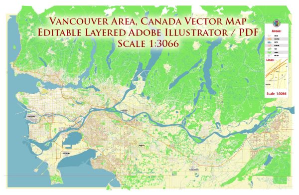
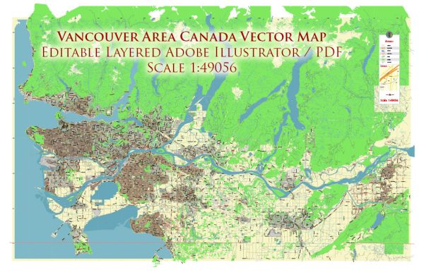
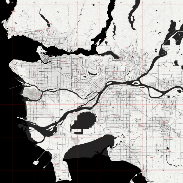
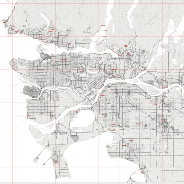
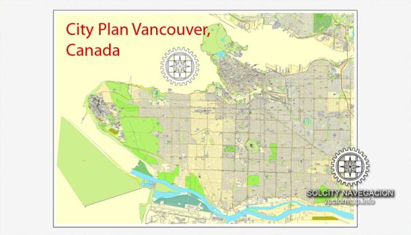
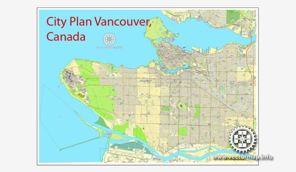
Vancouver, located in British Columbia, Canada, is a city known for its stunning natural surroundings, diverse culture, and vibrant urban environment. The city is situated on the Pacific Ocean and is surrounded by mountains, making it a picturesque and popular destination. Here’s a brief description of some of Vancouver’s principal waterways, bridges, and main streets:
Waterways:
- Fraser River: One of the major rivers in British Columbia, the Fraser River flows through the southern part of Vancouver. It is an important waterway for both transportation and recreation.
- Burrard Inlet: This is a deep-water fjord that borders the northern part of downtown Vancouver. The inlet is a crucial part of the city’s harbor and port facilities.
- False Creek: A tidal body of water that separates downtown Vancouver from the rest of the city. False Creek is surrounded by parks, residential areas, and the iconic Granville Island.
Bridges:
- Lions Gate Bridge: Connecting the city to the North Shore municipalities, the Lions Gate Bridge is a suspension bridge that offers breathtaking views of the city, mountains, and the harbor.
- Burrard Street Bridge: This iconic bridge spans False Creek, connecting downtown Vancouver to the Kitsilano and South Granville neighborhoods. It is a vital transportation route.
- Cambie Street Bridge: Crossing False Creek just east of the Burrard Street Bridge, the Cambie Street Bridge is another important bridge in Vancouver, connecting the neighborhoods of Mount Pleasant and Fairview.
Main Streets:
- Robson Street: Known as the city’s premier shopping street, Robson Street is located in downtown Vancouver. It is lined with a variety of shops, restaurants, and cafes, making it a popular destination for locals and visitors alike.
- Granville Street: This vibrant street runs through the heart of downtown and is known for its entertainment venues, theaters, and nightlife. It’s also a major transit corridor.
- Main Street: Running through several neighborhoods, including Mount Pleasant and Riley Park, Main Street is a diverse and eclectic area with a mix of shops, restaurants, and cultural attractions.
- Commercial Drive: Often referred to as “The Drive,” Commercial Drive is located in East Vancouver and is known for its bohemian atmosphere, diverse cultural influences, and a wide array of shops and eateries.
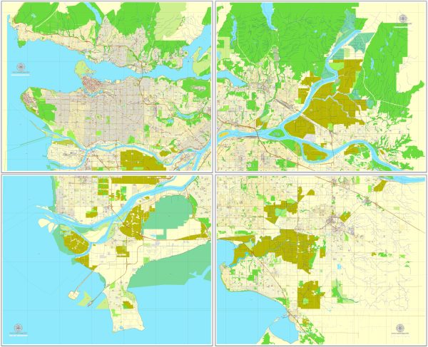
These are just a few highlights, and Vancouver has many more streets, bridges, and waterways that contribute to its unique character and appeal. The city’s urban planning, combined with its natural beauty, makes it a distinctive and attractive place to explore.
Vectormap.Net provide you with the most accurate and up-to-date vector maps in Adobe Illustrator, PDF and other formats, designed for editing and printing. Please read the vector map descriptions carefully.

 Author: Kirill Shrayber, Ph.D. FRGS