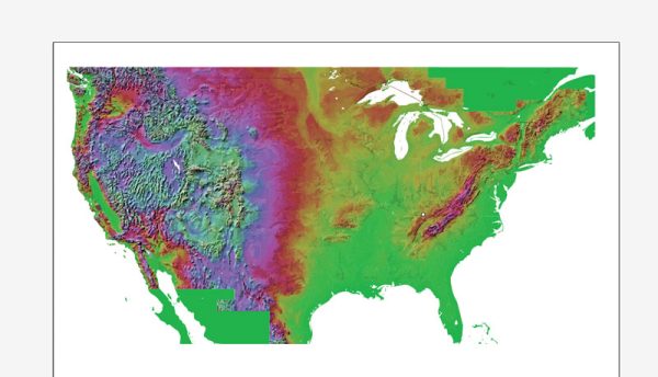
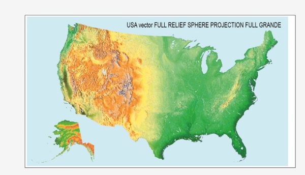
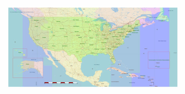
The United States is a vast and diverse country with a multitude of principal cities, waterways, and main roads that contribute to its economic, cultural, and geographical significance.
Vectormap.Net provide you with the most accurate and up-to-date vector maps in Adobe Illustrator, PDF and other formats, designed for editing and printing. Please read the vector map descriptions carefully.
Here’s a brief overview:
Principal Cities:
- New York City, New York:
- The largest city in the U.S., known for its financial district (Wall Street), cultural attractions, and iconic landmarks such as Times Square and Central Park.
- Los Angeles, California:
- The entertainment capital, home to Hollywood, and known for its diverse population, beaches, and cultural attractions.
- Chicago, Illinois:
- A major financial and cultural hub in the Midwest, renowned for its architecture, museums, and vibrant arts scene.
- Houston, Texas:
- A key player in the energy industry, particularly oil and gas, and known for its space exploration contributions.
- Washington, D.C.:
- The capital of the U.S., housing important government institutions, museums, and monuments, including the White House and the National Mall.
- San Francisco, California:
- Famous for the Golden Gate Bridge, diverse neighborhoods, and being a center for technology and innovation.
- Miami, Florida:
- A major hub for international trade and tourism, known for its vibrant nightlife and cultural diversity.
- Atlanta, Georgia:
- A major transportation hub and home to corporations, with a rich history in the civil rights movement.
- Boston, Massachusetts:
- Known for its historical significance, prestigious universities, and cultural institutions.
- Dallas, Texas:
- A major business and cultural hub in the southern U.S., with a diverse economy.
Waterways:
- Mississippi River:
- One of the longest rivers in North America, playing a crucial role in transportation and commerce.
- Great Lakes:
- A group of five interconnected freshwater lakes—Superior, Michigan, Huron, Erie, and Ontario—forming the largest body of freshwater in the world by total area.
- Columbia River:
- Flows through the Pacific Northwest, known for its role in hydroelectric power generation.
- Colorado River:
- Carves the Grand Canyon and provides water to the southwestern U.S.
- Hudson River:
- Flows through the eastern part of New York, important historically for trade.
Main Roads:
- Interstate Highway System:
- A network of high-speed roads that crisscross the country, facilitating transportation and commerce.
- U.S. Route System:
- A system of highways that connect major cities and regions across the country.
- Pacific Coast Highway (California State Route 1):
- A scenic coastal highway running along the California coast.
- Route 66 (Historic):
- Known as the “Main Street of America,” historically connecting Chicago to Los Angeles.
- I-95:
- A major north-south Interstate Highway on the East Coast.
These are just a few examples, and there are many more cities, waterways, and roads that contribute to the rich tapestry of the United States. The country’s geography and infrastructure play a significant role in its economic and cultural development.


 Author: Kirill Shrayber, Ph.D. FRGS