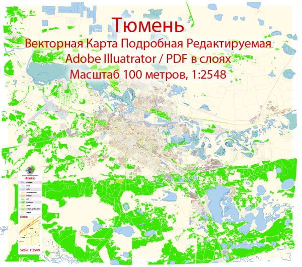
Tyumen, Russia, a general information about Tyumen and its notable features. Vectormap.Net provide you with the most accurate and up-to-date vector maps in Adobe Illustrator, PDF and other formats, designed for editing and printing. Please read the vector map descriptions carefully.
Waterways: Tyumen is situated on the Tura River, which is a significant waterway in the region. The Tura River flows through the city, providing a natural water feature.
Bridges: Several bridges span the Tura River in Tyumen, connecting different parts of the city. Some of these bridges may include road bridges, pedestrian bridges, or a combination of both. Notable bridges often become landmarks and contribute to the city’s infrastructure.
Main Streets: Tyumen has a network of streets that make up its urban layout. Some of the main streets are likely to be important for transportation, commerce, and daily life. Examples of main streets in Tyumen may include:
- Respubliki Street: A common name for main streets in Russian cities.
- Lenina Street: Often, cities have streets named after historical figures, and Lenin is a common choice.
- Voskresenskaya Street: Named after Voskresenskaya Church or in honor of the Resurrection (Voskresenie in Russian).
It’s important to note that urban landscapes can change, and new developments may have occurred since my last update. For the most accurate and up-to-date information, I recommend checking with local sources, maps, or online resources specific to Tyumen.


 Author: Kirill Shrayber, Ph.D. FRGS