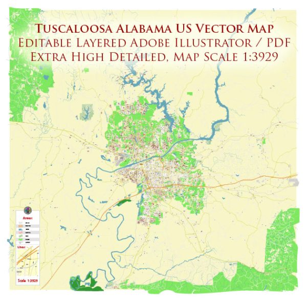
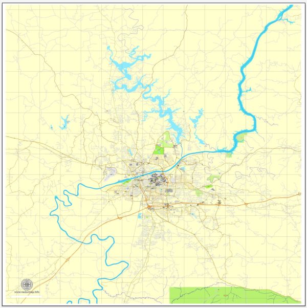
Tuscaloosa, Alabama, is located along the Black Warrior River and has several notable waterways, bridges, and main streets. Vectormap.Net provide you with the most accurate and up-to-date vector maps in Adobe Illustrator, PDF and other formats, designed for editing and printing. Please read the vector map descriptions carefully.
Waterways:
- Black Warrior River: Tuscaloosa is situated along the southern bank of the Black Warrior River, a major waterway in Alabama. The river flows through the city, providing recreational opportunities and scenic views.
Bridges:
- Hugh Thomas Bridge: This bridge spans the Black Warrior River and connects downtown Tuscaloosa with the University of Alabama campus. It’s a key transportation route in the city.
- Lurleen B. Wallace Northport Bridge: Also known as the Northport Bridge, it connects Tuscaloosa with the neighboring city of Northport, which is located on the northern bank of the Black Warrior River.
Main Streets:
- University Boulevard: This is a significant east-west thoroughfare in Tuscaloosa, running through the heart of downtown and connecting the University of Alabama campus to downtown and beyond.
- McFarland Boulevard: A major north-south artery, McFarland Boulevard is an important commercial and retail corridor in Tuscaloosa. It intersects with University Boulevard in the downtown area.
- Jack Warner Parkway: Named after former Alabama senator John Warner, this parkway runs along the southern bank of the Black Warrior River and provides scenic views and recreational opportunities.
- 15th Street: Running parallel to University Boulevard, 15th Street is another important east-west road, hosting various businesses, restaurants, and residential areas.
- Queen City Avenue: This street is notable for its historical significance and is part of the Queen City neighborhood, reflecting Tuscaloosa’s history and heritage.
These descriptions provide a general overview, and it’s recommended to check with local sources or maps for the latest details and any changes in the infrastructure of Tuscaloosa.


 Author: Kirill Shrayber, Ph.D. FRGS