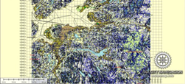
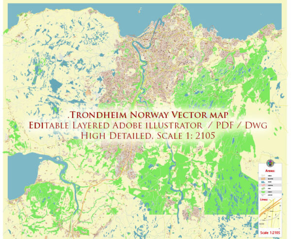
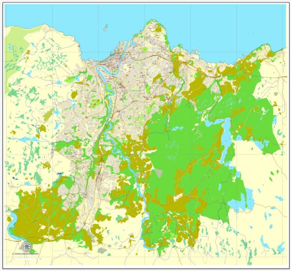
Trondheim is a city in central Norway with a rich history and several notable features. Vectormap.Net provide you with the most accurate and up-to-date vector maps in Adobe Illustrator, PDF and other formats, designed for editing and printing. Please read the vector map descriptions carefully. Here’s a general overview of some of the principal waterways, bridges, and main streets in Trondheim:
Waterways:
- Nidelva River: Nidelva flows through the heart of Trondheim, dividing the city into eastern and western parts. The river adds a picturesque element to the cityscape.
Bridges:
- Gamle Bybro (Old Town Bridge): Also known as Lykkens Portal (The Portal of Happiness), this iconic bridge crosses the Nidelva River and connects the downtown area with the historic Bakklandet neighborhood.
- Bakke Bru: Another bridge over the Nidelva River, located a bit upstream from Gamle Bybro.
Main Streets and Areas:
- Munkegata: One of the main streets in Trondheim, Munkegata runs through the city center and is lined with shops, restaurants, and historic buildings.
- Nedre Elvehavn: A vibrant waterfront area that has undergone significant redevelopment, offering a mix of residential, commercial, and cultural spaces.
- Bakklandet: A charming neighborhood with narrow, cobbled streets, colorful houses, and a distinctive atmosphere. It is located on the eastern side of the Nidelva River, across from the city center.
- Solsiden: A popular area along the waterfront with a mix of modern architecture, restaurants, bars, and shops.
- Kjøpmannsgata: Another important street in the city center, known for its shopping opportunities and historical buildings.


 Author: Kirill Shrayber, Ph.D. FRGS