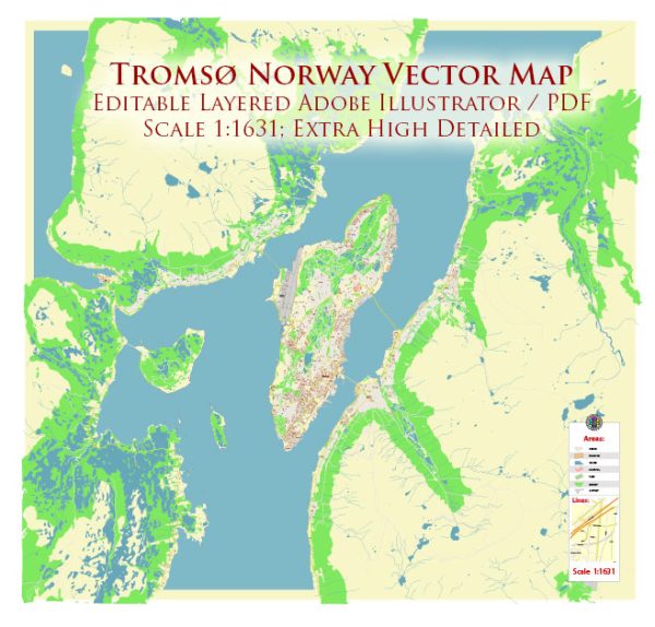
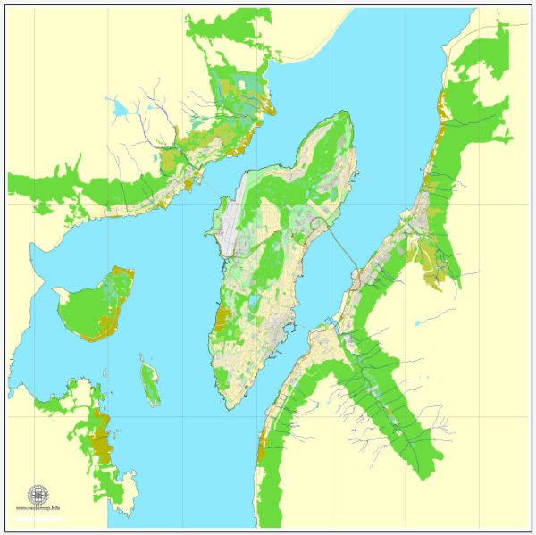
Tromsø, located in northern Norway, is known for its stunning natural beauty and unique urban environment. The city is situated on an island, Tromsøya, connected to the mainland by bridges and tunnels. Here are some of the principal waterways, bridges, and main streets in Tromsø:
Waterways:
- Tromsøysundet: This is the strait that separates Tromsøya from the mainland. The Tromsø Bridge and the Tromsøysund Tunnel connect the island to the mainland.
- Tromsø Sound: Surrounding Tromsøya, this body of water provides picturesque views of the surrounding mountains and is often used for various water activities.
Bridges:
- Tromsø Bridge (Tromsøbrua): This cantilever road bridge connects Tromsøya to the mainland over Tromsøysundet. The bridge is a prominent landmark and offers stunning views of the city and surrounding landscapes.
- Sandnessund Bridge (Sandnessundbrua): This bridge connects Tromsøya to Kvaløya, a larger island to the west of Tromsøya. It is an important transportation link in the region.
Main Streets and Areas:
- Storgata: This is the main street in Tromsø, running through the city center. Storgata is lined with shops, restaurants, and cafes, making it a popular pedestrian area.
- Skippergata: Another important street in the city, Skippergata is known for its historic buildings and is home to various businesses and cultural institutions.
- Strandgata: Located along the waterfront, this street offers beautiful views of the harbor and is a great place for a leisurely stroll.
- Fredrik Langes Gate: A street in the city center named after the Norwegian merchant and politician Fredrik Langes. It features a mix of shops and eateries.
Other Notable Areas:
- Tromsø City Center: The heart of Tromsø, the city center is a lively area with a mix of modern and historic buildings, shops, and cultural attractions.
- Tromsøya: The island itself is a key part of Tromsø’s identity, offering a combination of urban amenities and natural beauty.
Tromsø’s layout and infrastructure are designed to make the most of its stunning surroundings, and the city’s waterways, bridges, and streets contribute to its unique character in the Arctic region. Keep in mind that urban development and infrastructure may evolve, so it’s a good idea to check for the latest information if you plan to visit.
Vectormap.Net provide you with the most accurate and up-to-date vector maps in Adobe Illustrator, PDF and other formats, designed for editing and printing. Please read the vector map descriptions carefully.


 Author: Kirill Shrayber, Ph.D.