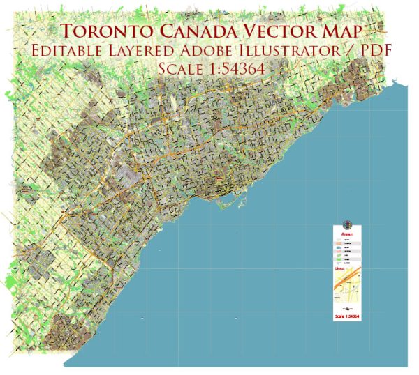
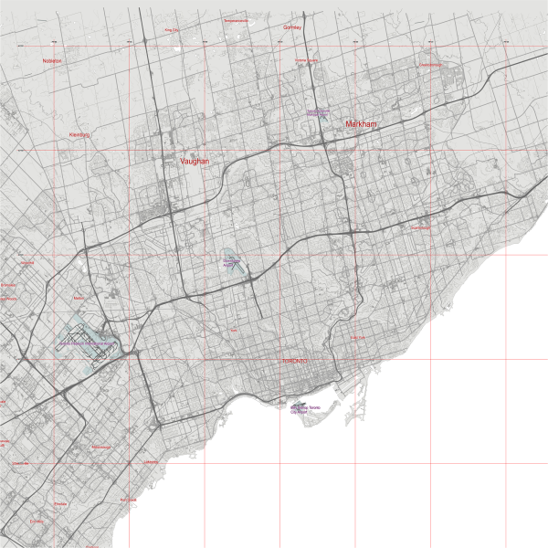
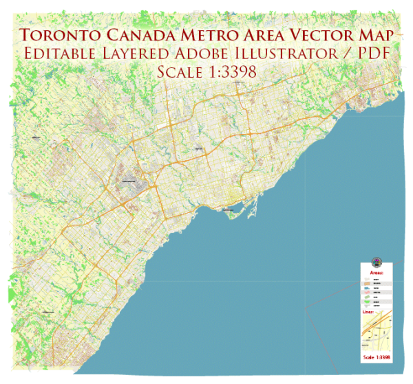
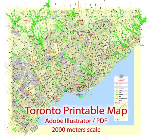
Toronto, Canada, is a vibrant and diverse city with a well-developed infrastructure that includes numerous waterways, bridges, and main streets. Here’s a brief description of some of the principal waterways, bridges, and main streets in Toronto:
Waterways:
- Lake Ontario:
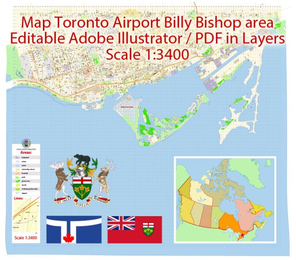
- Toronto is situated on the northern shore of Lake Ontario, one of the Great Lakes. The waterfront along Lake Ontario is a prominent feature of the city, offering stunning views and recreational spaces.
- Toronto Islands:
- A group of small islands located just offshore from the downtown core, accessible by ferry. The islands provide a peaceful escape with parks, beaches, and recreational activities.
- Don River:
- The Don River runs through the eastern part of the city, with its lower reaches undergoing revitalization efforts to create green spaces and trails along its banks.
- Humber River:
- Flowing through the western part of Toronto, the Humber River also contributes to the city’s natural beauty. There are parks and trails along the Humber, making it a popular area for outdoor activities.
Bridges:
- Prince Edward Viaduct (Bloor Viaduct):
- This iconic bridge spans the Don Valley, connecting Bloor Street East to Danforth Avenue. It offers spectacular views of the city skyline and is a critical transportation link.
- Queen Street Viaduct:
- A bridge that spans the Don River, connecting the eastern and western parts of Queen Street. It provides a vital east-west route in the downtown area.
- Humber Bay Arch Bridge:
- Located in the western part of Toronto, this pedestrian and cyclist bridge is known for its distinctive arches and offers panoramic views of Lake Ontario.
Main Streets:
- Yonge Street:
- Often referred to as the “longest street in the world,” Yonge Street is a major north-south thoroughfare running through the heart of downtown Toronto. It is lined with shops, restaurants, and cultural attractions.
- Queen Street:
- A bustling east-west street known for its diverse neighborhoods, trendy shops, and entertainment venues. It extends from the Beaches in the east to Etobicoke in the west.
- King Street:
- Parallel to Queen Street, King Street is another important east-west artery, particularly known for its theaters and the Entertainment District.
- University Avenue:
- Running from Front Street to College Street, University Avenue is home to numerous hospitals, government buildings, and cultural institutions. It is often the route for parades and events.
These are just a few highlights of Toronto’s waterways, bridges, and main streets. The city’s urban landscape is dynamic and ever-evolving, contributing to its status as a global metropolis.
Vectormap.Net provide you with the most accurate and up-to-date vector maps in Adobe Illustrator, PDF and other formats, designed for editing and printing. Please read the vector map descriptions carefully.

 Author: Kirill Shrayber, Ph.D. FRGS