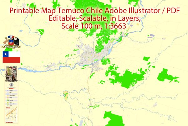
Temuco, Chile, some general information based on common features found in many cities.
Vectormap.Net provide you with the most accurate and up-to-date vector maps in Adobe Illustrator, PDF and other formats, designed for editing and printing. Please read the vector map descriptions carefully.
Waterways:
- Cautín River: Temuco is situated along the Cautín River, and the river may have various branches or tributaries within the city. The river can play a significant role in the city’s geography and urban planning.
Bridges:
- Pedro de Valdivia Bridge: This is one of the notable bridges in Temuco. It might connect different parts of the city over the Cautín River.
Main Streets:
- Avenida Alemania: This is a major avenue in Temuco and is likely to have commercial, residential, and cultural establishments. It may serve as a central thoroughfare for the city.
- Avenida Caupolicán: Another important avenue, Avenida Caupolicán, may host businesses, shops, and other facilities. It’s common for main streets to be hubs of activity in urban areas.
- Avenida Arturo Prat: Depending on the city’s layout, this avenue may also be a key route connecting different neighborhoods.
Keep in mind that this information is based on common urban features, and the specifics may have changed or evolved since my last update. For the most accurate and up-to-date information, I recommend checking with local government sources, city maps, or recent publications about Temuco.


 Author: Kirill Shrayber, Ph.D. FRGS