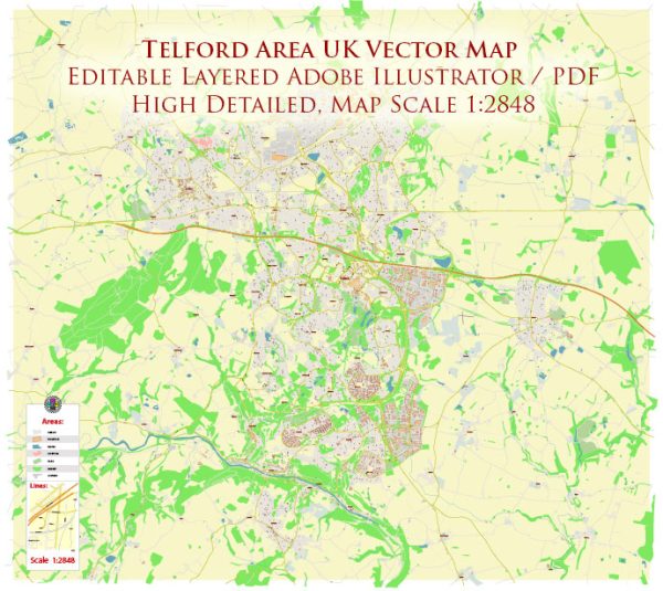
Telford is a town in the borough of Telford and Wrekin, located in the county of Shropshire, England. The town is part of the Telford urban area, which was named after the civil engineer Thomas Telford. Telford has several waterways, bridges, and main streets that contribute to its infrastructure and connectivity. Vectormap.Net provide you with the most accurate and up-to-date vector maps in Adobe Illustrator, PDF and other formats, designed for editing and printing. Please read the vector map descriptions carefully. Here is a general description:
Waterways:
- Shropshire Union Canal: This canal passes through Telford and is a major waterway in the region. It provides picturesque views and recreational opportunities.
Bridges:
- Iron Bridge: While not directly in Telford, the Iron Bridge is a significant historical structure located nearby in Ironbridge. It is a UNESCO World Heritage Site and a symbol of the Industrial Revolution.
Main Streets:
- Telford Town Centre: The town center is likely to have main streets with shopping areas, restaurants, and businesses. The specific streets may include:
- Southwater Way: This area is known for its shopping and leisure facilities.
- New Street: A common name for a central street in many towns, which may host various shops and services.
- Queensway: A major road that may serve as a primary route through the town, connecting various neighborhoods and commercial areas.
- M54 Motorway: While not a street in the traditional sense, the M54 motorway is a significant transportation route that passes through Telford, providing access to nearby cities.
- A442: This is a major road that connects Telford to other towns in the region.
- A5: Another important road that may pass through or near Telford, providing connectivity to other parts of the country.
Please note that the specifics of bridges, streets, and waterways can change, and new developments may have occurred since my last update. For the most accurate and current information, it’s recommended to consult local maps, official town planning documents, or relevant local authorities.


 Author: Kirill Shrayber, Ph.D.