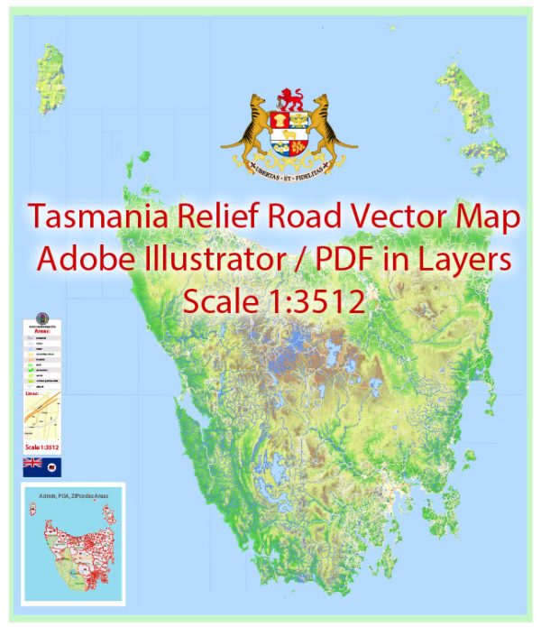
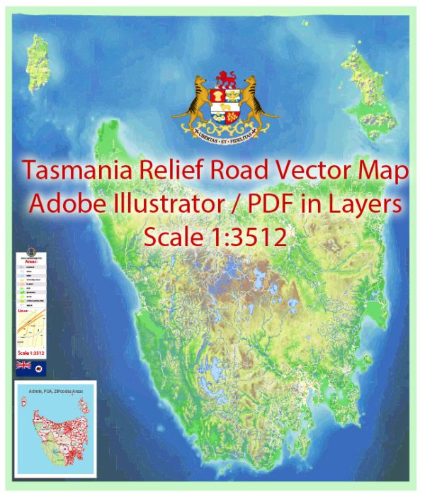
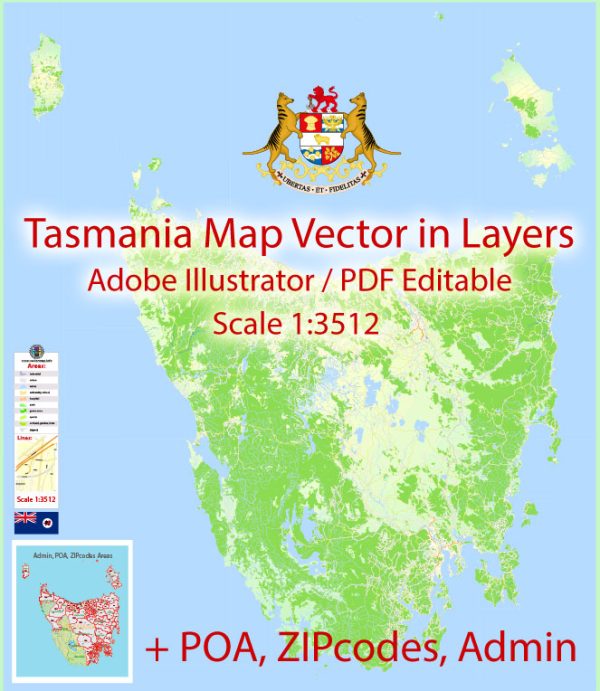
Tasmania is an island state of Australia, known for its stunning natural beauty, diverse landscapes, and unique wildlife. The state is characterized by its rugged mountains, dense forests, and pristine coastline. Here’s a brief description of some of Tasmania’s principal cities, waterways, and main roads:
Principal Cities:
- Hobart:
- Description: Hobart, the capital and largest city of Tasmania, is located in the southeastern part of the island. It is known for its historic architecture, vibrant arts scene, and the iconic Salamanca Place. The city is nestled at the foot of Mount Wellington, offering breathtaking views of the surrounding landscape.
- Launceston:
- Description: Launceston is Tasmania’s second-largest city and is situated in the north. It is renowned for its well-preserved Victorian and Georgian architecture, including landmarks like Cataract Gorge. Launceston is a hub for arts and culture and serves as a gateway to the Tamar Valley wine region.
Waterways:
- Derwent River:
- Description: The Derwent River flows through the city of Hobart, providing a scenic backdrop. It is a major waterway for the region and plays a significant role in the maritime history of Tasmania.
- Tamar River:
- Description: The Tamar River runs through the northern part of Tasmania, including Launceston. It is surrounded by picturesque landscapes and is integral to the Tamar Valley wine region.
- Macquarie Harbour:
- Description: Located on the west coast, Macquarie Harbour is the second-largest natural harbor in Australia. It is a gateway to the UNESCO-listed Franklin-Gordon Wild Rivers National Park and is known for its remote and pristine wilderness.
Main Roads:
- Midland Highway (National Highway 1):
- Description: The Midland Highway is the main north-south route connecting Hobart and Launceston. It passes through the Midlands region and offers access to various towns and attractions.
- Bass Highway (National Highway 1):
- Description: The Bass Highway runs along the northern coast of Tasmania, connecting Launceston to Burnie and Devonport. It provides access to coastal landscapes and is a vital transportation route.
- East Tamar Highway:
- Description: The East Tamar Highway connects Launceston to the eastern part of the Tamar Valley. It is a scenic route offering access to vineyards, orchards, and riverside attractions.
These descriptions provide a glimpse into Tasmania’s key cities, waterways, and main roads, showcasing the diversity and natural beauty that the island state has to offer.
Vectormap.Net provide you with the most accurate and up-to-date vector maps in Adobe Illustrator, PDF and other formats, designed for editing and printing. Please read the vector map descriptions carefully.


 Author: Kirill Shrayber, Ph.D. FRGS