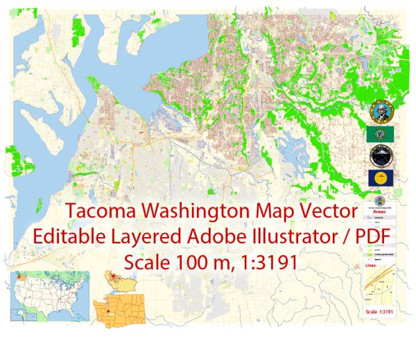
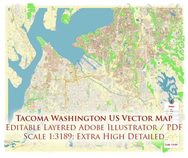
Tacoma, Washington, is a city located in Pierce County and is known for its waterfront location on Puget Sound. Here’s a description of some of the principal waterways, bridges, and main streets and roads in Tacoma:
Waterways:
- Puget Sound: Tacoma is situated on the shores of Puget Sound, providing the city with a picturesque waterfront. The port of Tacoma is a major container port on the Pacific Coast.
- Thea Foss Waterway: This waterway runs through downtown Tacoma and is home to the Thea Foss Waterway Seaport, restaurants, and residential developments.
Bridges:
- Tacoma Narrows Bridge: This iconic twin-span bridge connects Tacoma to the Kitsap Peninsula across the Tacoma Narrows strait. It offers stunning views of the surrounding area.
Main Streets and Roads:
- Pacific Avenue: This is one of the main thoroughfares running through downtown Tacoma, lined with shops, restaurants, and cultural institutions.
- I-5 (Interstate 5): I-5 passes through Tacoma, connecting the city to Seattle to the north and Portland, Oregon, to the south.
- State Route 16 (SR-16): This highway provides a vital east-west connection and links Tacoma to the Kitsap Peninsula via the Tacoma Narrows Bridge.
- South Tacoma Way: Also known as SR-99, South Tacoma Way is a major north-south arterial road running through the southern part of the city.
- Ruston Way: A scenic waterfront drive along Commencement Bay, offering parks, walking paths, and views of the water.
- Puyallup Avenue: Located in the Dome District, Puyallup Avenue connects to the Tacoma Dome, a major entertainment and event venue.
- Stewart Street: This street runs through downtown Tacoma, providing access to various businesses, restaurants, and attractions.
- Bridgeport Way: An important road in the Lakewood area, connecting Tacoma to the neighboring city of Lakewood.
These are just a few examples, and Tacoma has a network of streets and roads that facilitate transportation within the city and its surrounding areas. The city’s geography and waterfront location contribute to its unique character and appeal. Vectormap.Net provide you with the most accurate and up-to-date vector maps in Adobe Illustrator, PDF and other formats, designed for editing and printing. Please read the vector map descriptions carefully.


 Author: Kirill Shrayber, Ph.D. FRGS