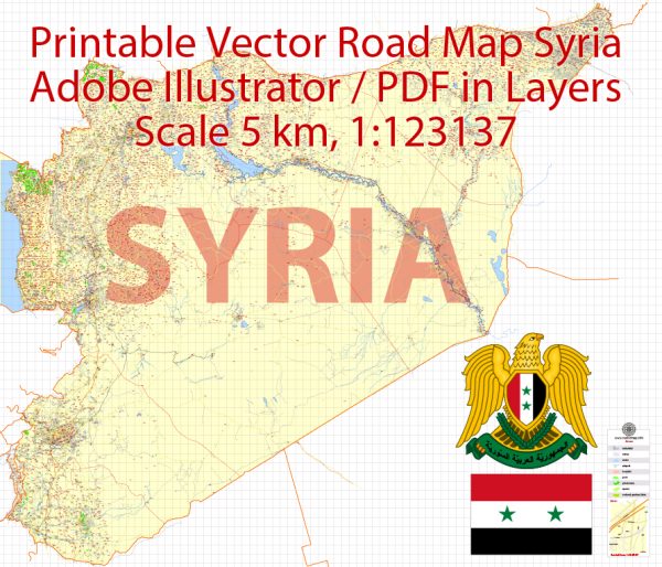
Syria is a country located in the Middle East, here is a general description of some principal cities, waterways, and main roads in Syria:
Principal Cities:
- Damascus: The capital and largest city of Syria, Damascus is one of the oldest continuously inhabited cities in the world. It has a rich historical and cultural heritage.
- Aleppo: Another major city, historically known for its importance in trade and commerce. Aleppo has a diverse cultural and architectural heritage.
- Homs: Located in western Syria, Homs is an ancient city with historical significance. It has been a center for industry and commerce.
- Hama: Situated along the banks of the Orontes River, Hama is known for its ancient waterwheels and historical sites.
Waterways:
- Euphrates River: One of the most significant rivers in the Middle East, the Euphrates flows through eastern Syria. It has played a crucial role in the historical development of the region.
- Tigris River: While the Tigris River primarily flows through Iraq, it forms part of Syria’s northeastern border with Iraq.
- Orontes River: This river flows through western Syria, passing through cities like Homs and Hama before reaching the Mediterranean Sea.
Main Roads:
- M5 Highway: A major north-south highway that connects Aleppo in the north to Damascus in the south. It is a crucial transportation route.
- M4 Highway: Running east-west, this highway connects the coastal areas to Aleppo, providing an important link between the western and northern parts of the country.
Vectormap.Net provide you with the most accurate and up-to-date vector maps in Adobe Illustrator, PDF and other formats, designed for editing and printing. Please read the vector map descriptions carefully.
It’s important to note that the ongoing conflict in Syria has likely affected infrastructure, including roads and cities. The situation on the ground may have changed, and it’s advisable to refer to the latest sources for the most up-to-date information. Additionally, the control of different areas may have shifted due to the dynamic nature of the conflict.


 Author: Kirill Shrayber, Ph.D. FRGS