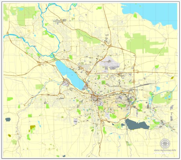
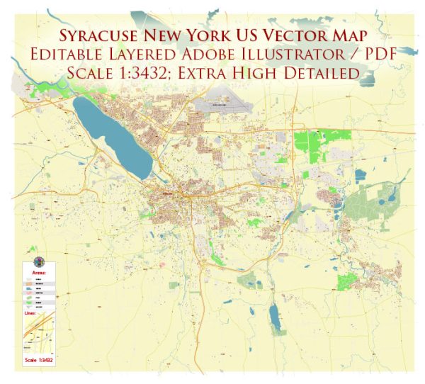
Syracuse, New York’s waterways, bridges, streets, or roads, a general overview based on historical information.
Vectormap.Net provide you with the most accurate and up-to-date vector maps in Adobe Illustrator, PDF and other formats, designed for editing and printing. Please read the vector map descriptions carefully.
Waterways:
- Onondaga Lake: Located to the northwest of downtown Syracuse, Onondaga Lake is a prominent water body in the region. The lake has been a focal point for recreational activities, although it has also faced environmental challenges.
Bridges:
- Onondaga Lake Parkway Bridge: This bridge spans Onondaga Lake and is a key element in the transportation network around Syracuse.
Main Streets and Roads:
- Interstate 81 (I-81): Running north-south through Syracuse, I-81 is a major highway connecting the city with other parts of New York State.
- Interstate 690 (I-690): This east-west interstate provides a connection to downtown Syracuse and serves as a vital route in the area.
- East Genesee Street: Running east-west through the city, this street is one of the main thoroughfares in Syracuse.
- West Genesee Street: Similar to East Genesee Street, West Genesee Street is another important east-west road in Syracuse.
- Salina Street: A north-south street, Salina Street is a key downtown thoroughfare with commercial and cultural significance.
Please note that developments in urban infrastructure can change, and new projects may have been initiated since my last update. For the most accurate and current information, it’s recommended to consult local maps, official city planning documents, or other reliable sources that provide real-time data on Syracuse’s waterways, bridges, streets, and roads.


 Author: Kirill Shrayber, Ph.D. FRGS