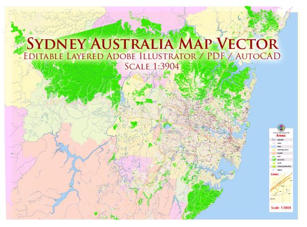
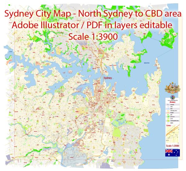
Sydney, Australia, is characterized by a network of waterways, iconic bridges, and a well-developed system of main streets and roads. Here’s an overview of some of the principal waterways, bridges, and main streets and roads in Sydney:
Waterways:
- Sydney Harbour: One of the world’s most famous natural harbors, Sydney Harbour is surrounded by the Sydney Opera House and the Sydney Harbour Bridge. It’s a gateway to the Pacific Ocean and hosts various maritime activities.
- Parramatta River: Flowing through the western suburbs of Sydney, the Parramatta River is a significant waterway that connects Parramatta to Sydney Harbour. It offers picturesque views and recreational opportunities.
- Botany Bay: Located to the south of the city, Botany Bay is known for its historical significance as the landing site of Captain James Cook in 1770. It is a large bay with industrial and residential areas surrounding it.
Bridges:
- Sydney Harbour Bridge: An iconic symbol of Sydney, the Sydney Harbour Bridge spans across Sydney Harbour, connecting the central business district (CBD) with the North Shore. It is a steel through arch bridge and offers breathtaking views of the city.
- Anzac Bridge: Connecting the Sydney CBD with the suburb of Pyrmont, the Anzac Bridge is a cable-stayed bridge that spans over Johnstons Bay. It is known for its distinctive design and serves as a key transport link.
- Gladesville Bridge: Crossing the Parramatta River, the Gladesville Bridge connects the suburbs of Huntleys Point and Drummoyne. It is an important road transport link in the western part of the city.
Main Streets and Roads:
- George Street: Running through the heart of the Sydney CBD, George Street is one of the city’s main thoroughfares. It is lined with shops, restaurants, and historic buildings, including the Queen Victoria Building.
- Parramatta Road: Connecting Sydney’s CBD with the suburb of Parramatta, Parramatta Road is a major arterial road. It passes through various inner-western suburbs and is a key transport corridor.
- Eastern Distributor: This toll road provides a quick connection between the Sydney CBD and the eastern suburbs, including Bondi and Randwick.
- M2 Motorway: Linking the northern suburbs with the CBD, the M2 Motorway is a major freeway that facilitates efficient transportation.
- Pacific Highway: A key north-south route, the Pacific Highway connects Sydney with the Central Coast and Newcastle to the north.
These waterways, bridges, streets, and roads collectively contribute to Sydney’s efficient transportation infrastructure and offer residents and visitors a diverse range of experiences.
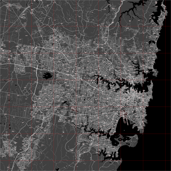
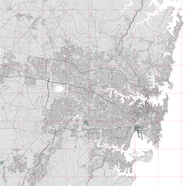
Vectormap.Net provide you with the most accurate and up-to-date vector maps in Adobe Illustrator, PDF and other formats, designed for editing and printing. Please read the vector map descriptions carefully.

 Author: Kirill Shrayber, Ph.D. FRGS