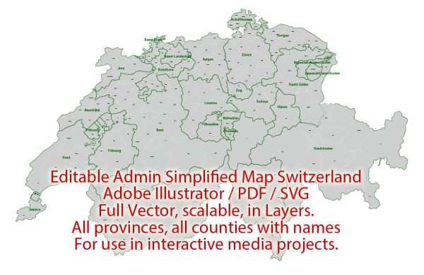
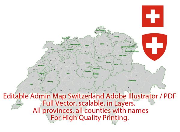
Switzerland is a landlocked country located in the heart of Europe, known for its stunning landscapes, precision engineering, and neutrality in international conflicts. Here’s a brief overview of some of its principal cities, waterways, and main roads:
Principal Cities:
- Zurich:
- Largest city in Switzerland.
- Financial and economic hub.
- Located on the shores of Lake Zurich.
- Geneva:
- International city, headquarters of many international organizations.
- Situated near the French border on the shores of Lake Geneva.
- Bern:
- Capital city of Switzerland.
- Historic old town with well-preserved medieval architecture.
- Located on the Aare River.
- Basel:
- Located on the banks of the Rhine River.
- Major cultural and economic center.
- Borders both Germany and France.
- Lucerne:
- Picturesque city surrounded by mountains and situated on the shores of Lake Lucerne.
- Famous for the Chapel Bridge and Water Tower.
Waterways:
- Rhine River:
- Flows through the northern part of Switzerland.
- Major transportation route for goods.
- Aare River:
- Flows through the central part of Switzerland.
- Passes through the capital city, Bern.
- Lake Geneva:
- One of the largest lakes in Europe.
- Shared by Switzerland and France.
- Geneva, Montreux, and Lausanne are major cities along its shores.
- Lake Zurich:
- Located in the Zurich metropolitan area.
- Offers recreational activities and scenic views.
Main Roads:
- A1 (Autoroute 1):
- Major highway connecting Geneva and St. Margrethen in the northeast.
- A2 (Autoroute 2):
- Runs from Basel in the northwest to Chiasso in the south.
- A3 (Autoroute 3):
- Connects Basel with Zurich and continues to the eastern part of Switzerland.
- A4 (Autoroute 4):
- Links Zurich with Schaffhausen and the German border.
- A8 (Autoroute 8):
- Connects Zurich with the eastern part of Switzerland, passing through cities like Winterthur.
- A9 (Autoroute 9):
- Runs from Lausanne to Martigny and provides a connection to the Valais region.
Switzerland has an extensive and well-maintained road network, and its efficient transportation infrastructure is crucial for both domestic and international trade and tourism. The country’s commitment to precision and quality is reflected in its transportation systems and overall urban planning.
Vectormap.Net provide you with the most accurate and up-to-date vector maps in Adobe Illustrator, PDF and other formats, designed for editing and printing. Please read the vector map descriptions carefully.


 Author: Kirill Shrayber, Ph.D. FRGS