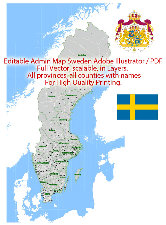
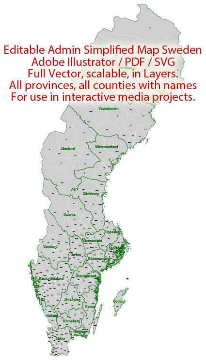
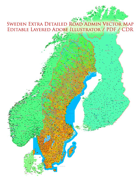
Sweden is a Scandinavian country located in Northern Europe. It is characterized by diverse landscapes, including forests, lakes, and coastal areas. Here are some of Sweden’s principal cities, notable waterways, and main roads:
Principal Cities:
- Stockholm:
- Capital and largest city of Sweden.
- Located on 14 islands connected by 57 bridges.
- Known for its historic architecture, museums, and vibrant cultural scene.
- Gothenburg (Göteborg):
- Sweden’s second-largest city.
- Major port city with a rich maritime history.
- Home to cultural attractions, including museums and theaters.
- Malmö:
- Located in the southernmost part of Sweden.
- Connected to Copenhagen in Denmark by the Öresund Bridge.
- Known for its modern architecture and diverse cultural scene.
- Uppsala:
- One of the oldest cities in Sweden.
- Home to Uppsala University, a renowned institution.
- Famous for its medieval cathedral and historic sites.
- Linköping:
- Located in the southeastern part of Sweden.
- Known for its high-tech industry and research institutions.
- Historical sites include the medieval Linköping Cathedral.
Notable Waterways:
- Gulf of Bothnia:
- The northernmost arm of the Baltic Sea.
- Separates Sweden from Finland.
- Baltic Sea:
- Surrounds Sweden to the east.
- Connects Sweden to other Baltic countries and provides access to the North Sea.
- Lake Vänern:
- Largest lake in Sweden.
- Located in the southwestern part of the country.
- Lake Mälaren:
- Third-largest lake in Sweden.
- Adjacent to Stockholm and connected to the Baltic Sea.
- Göta Canal:
- Man-made canal connecting the Gothenburg and Stockholm.
- Links the Kattegat on the west coast with the Baltic Sea.
Main Roads:
- E4:
- Major north-south highway.
- Connects Helsingborg in the south to Haparanda near the Finnish border in the north.
- E6:
- Runs from Trelleborg in the south to the Norwegian border in the west.
- Connects Gothenburg and Malmö.
- E18:
- Connects Stockholm to the Norwegian border.
- Passes through cities like Karlstad and Oslo in Norway.
- E20:
- Connects Stockholm to Malmö, passing through Gothenburg.
- Part of the international route from Shannon in Ireland to Saint Petersburg in Russia.
- Route 40:
- East-west highway connecting Gothenburg to Stockholm.
These descriptions provide a broad overview, and there are many more cities, waterways, and roads contributing to Sweden’s diverse geography and infrastructure.
Vectormap.Net provide you with the most accurate and up-to-date vector maps in Adobe Illustrator, PDF and other formats, designed for editing and printing. Please read the vector map descriptions carefully.


 Author: Kirill Shrayber, Ph.D. FRGS