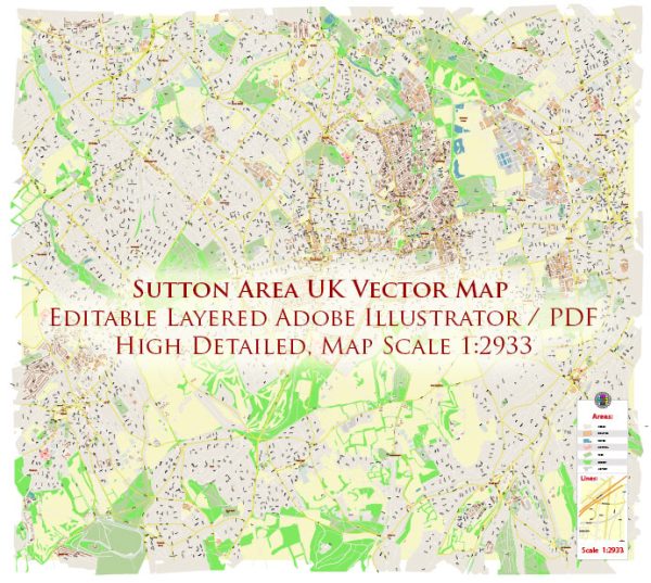
Sutton is a town located in southwest London, England. It doesn’t have any major waterways or bridges within its immediate boundaries. Vectormap.Net provide you with the most accurate and up-to-date vector maps in Adobe Illustrator, PDF and other formats, designed for editing and printing. Please read the vector map descriptions carefully.
As for main streets and roads in the Sutton area, some of the notable ones include:
- High Street: The High Street is often a central thoroughfare in many towns, and Sutton is no exception. It likely features a mix of shops, restaurants, and other businesses.
- Cheam Road: This road runs through Sutton and may have commercial and residential properties along its route.
- Throwley Way: Another significant road in the area, it could host various amenities and services.
- St. Nicholas Way: This is a pedestrianized area in Sutton, known for its shopping facilities and the St. Nicholas Centre, a shopping mall.
- A217 (Reigate Avenue): This major road connects Sutton to other areas and is an important transportation route.
- Bushey Road: Running through Sutton, Bushey Road is another key road in the area.
It’s important to verify this information with more recent sources, as developments and changes may have occurred since my last update. Local government websites, maps, or community resources can provide the most current and detailed information about waterways, bridges, and streets in the Sutton area.


 Author: Kirill Shrayber, Ph.D. FRGS